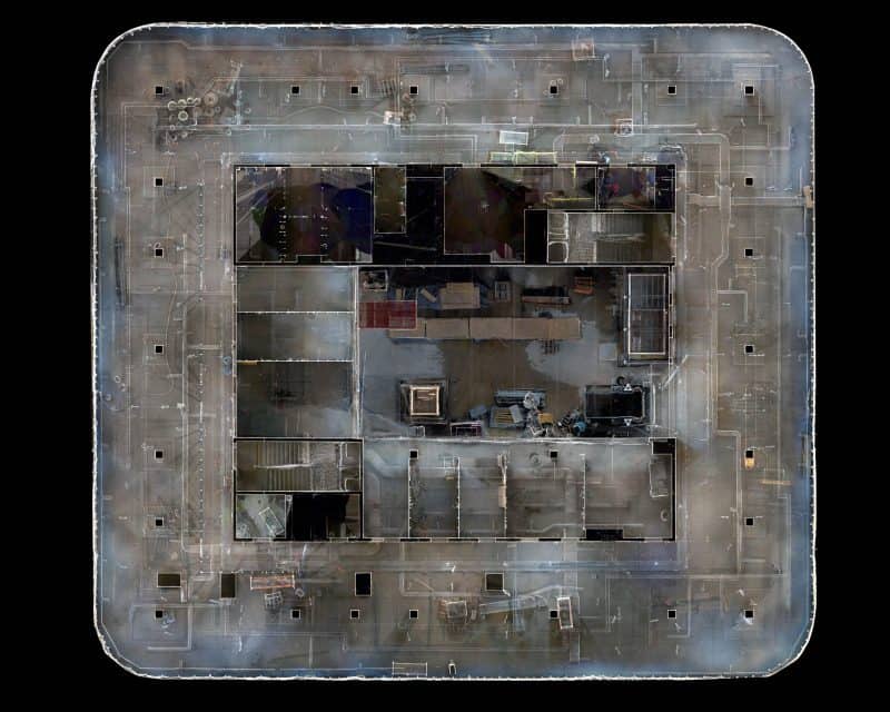
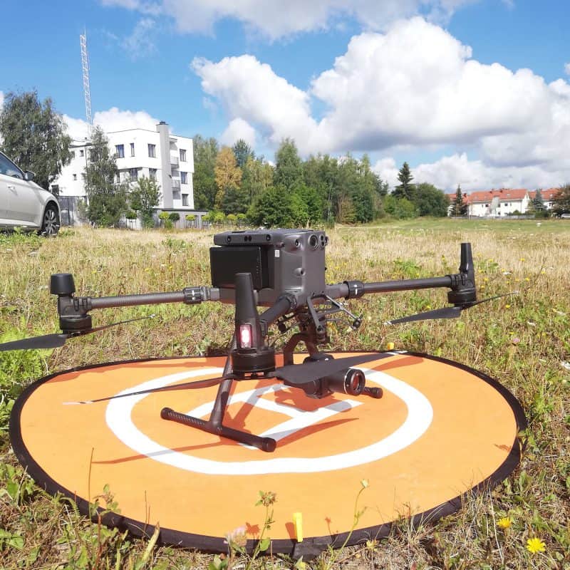
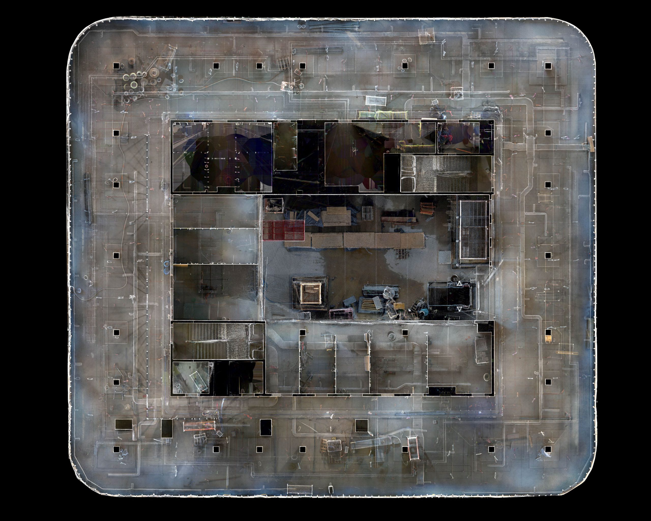
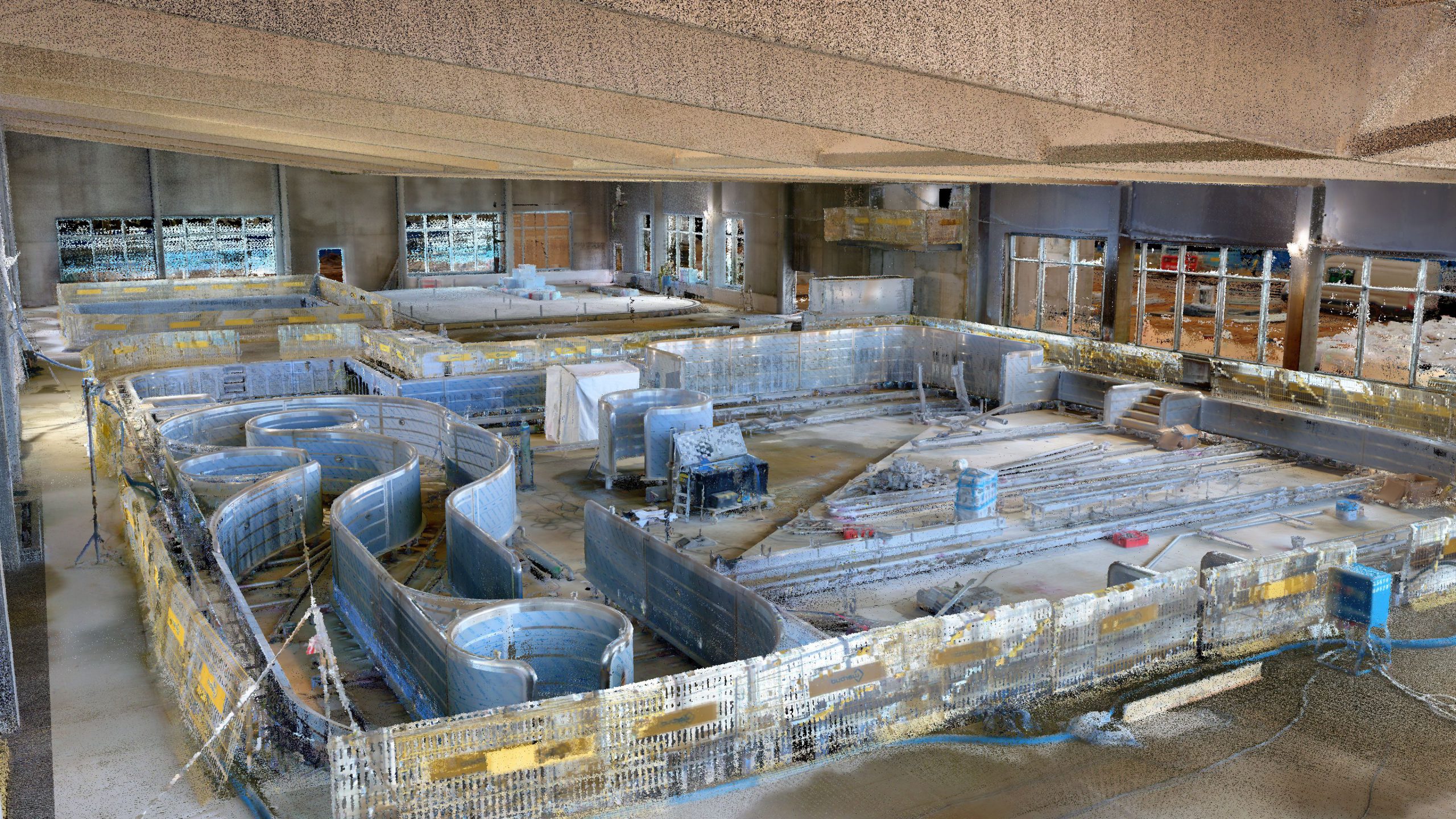
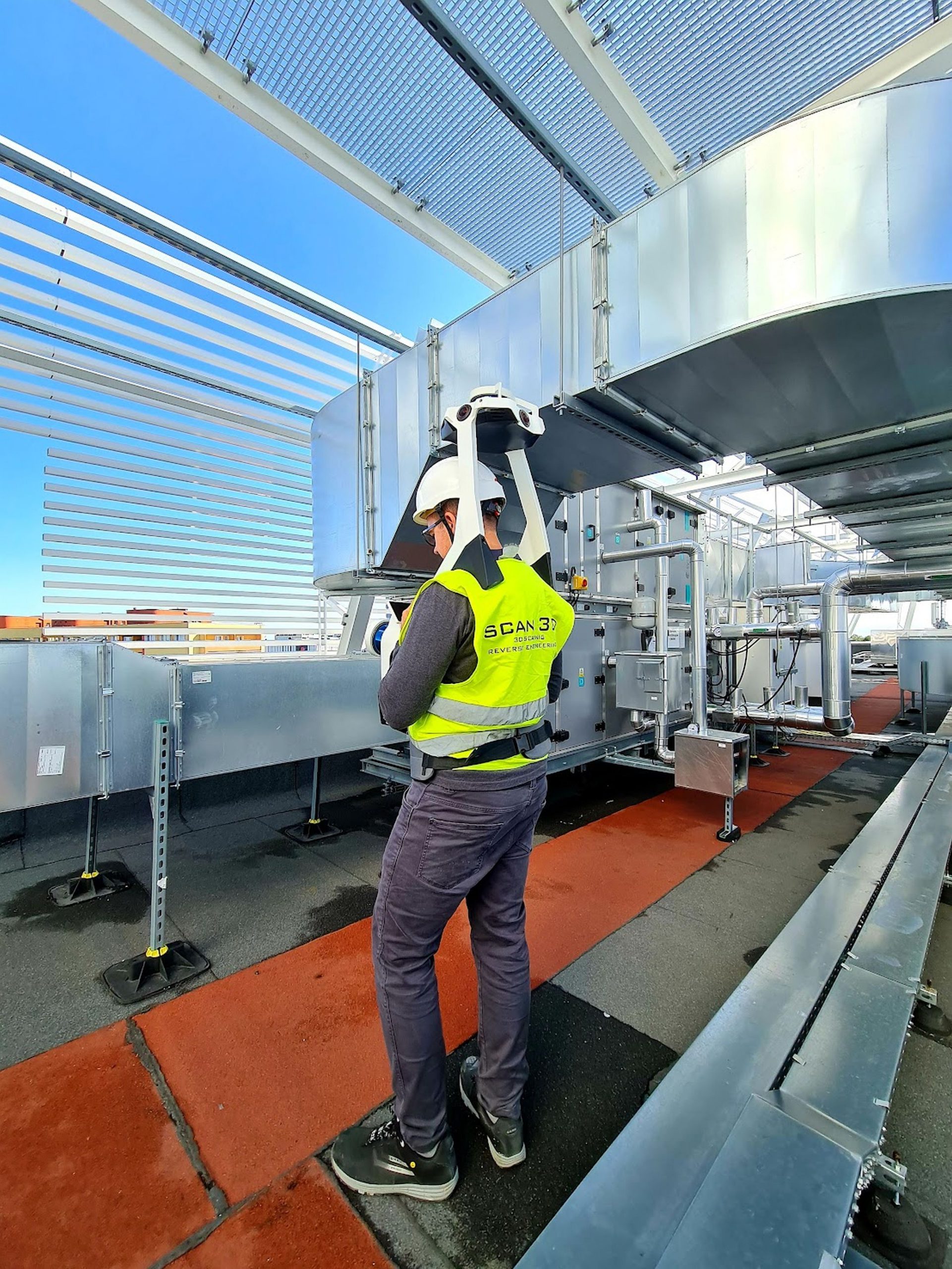
3D inventory of the building elevation with a 3D map

3D scanning can also be used to develop a 3D map. This is a much more accurate method than traditional geodetic measurement. First of all, the 3D scanner measurement is surface, not point-like. During one measurement, 10-15 million points are collected, which, in addition to information about the ground, record the geometry of the surrounding objects. The scanned area can also be easily visualized to the target customer.

Benefits:

  • a much larger range of acquired data;
  • surface measurement rather than point measurement;
  • measuring accuracy +/- 5 mm;
  • the possibility of spatial, surface and volume analyzes.
Enter_0002
Enter_0003
Enter_0004
Enter_0005
Enter_0007
Enter_0009
Enter_0013
Enter_0014
Enter_0016
Enter_0017
Enter_0019
Enter_0020
Enter_0021
Enter_0006
Enter_0015
Enter_0018
previous arrow
next arrow
Enter_0002
Enter_0003
Enter_0004
Enter_0005
Enter_0007
Enter_0009
Enter_0013
Enter_0014
Enter_0016
Enter_0017
Enter_0019
Enter_0020
Enter_0021
Enter_0006
Enter_0015
Enter_0018
previous arrow
next arrow