Home > Our Offer > Photogrammetric Measurements – from ground, from a drone

Photogrammetric Measurements – from ground, from a drone


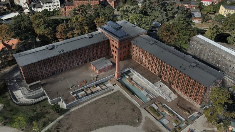
Photogrammetry enables fast and accurate processing of object data into a complete and realistic 3D model. We obtain data from 2D digital photos. We perform photogrammetric measurements that allow acquiring precise and fully up-to-date mapping of objects with large areas or complex geometry. Photogrammetry also ensures faithful reproduction of the colour with an accuracy impossible to obtain by 3D scanners. Modern photogrammetry is used by numerous industries: construction, architecture, industry, e-commerce, automotive, geodesy, and logistics. Check out the possibilities offered by photogrammetric measurements and choose products for your investment.
Photogrammetry – technology description

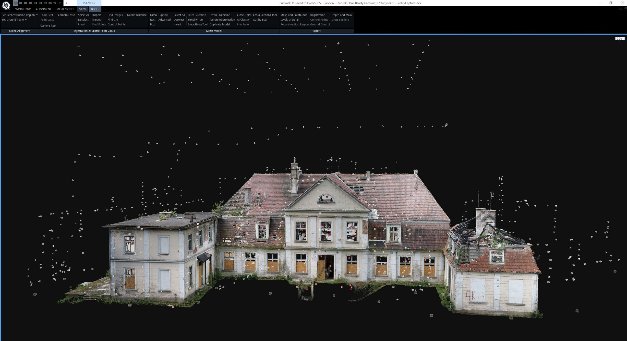
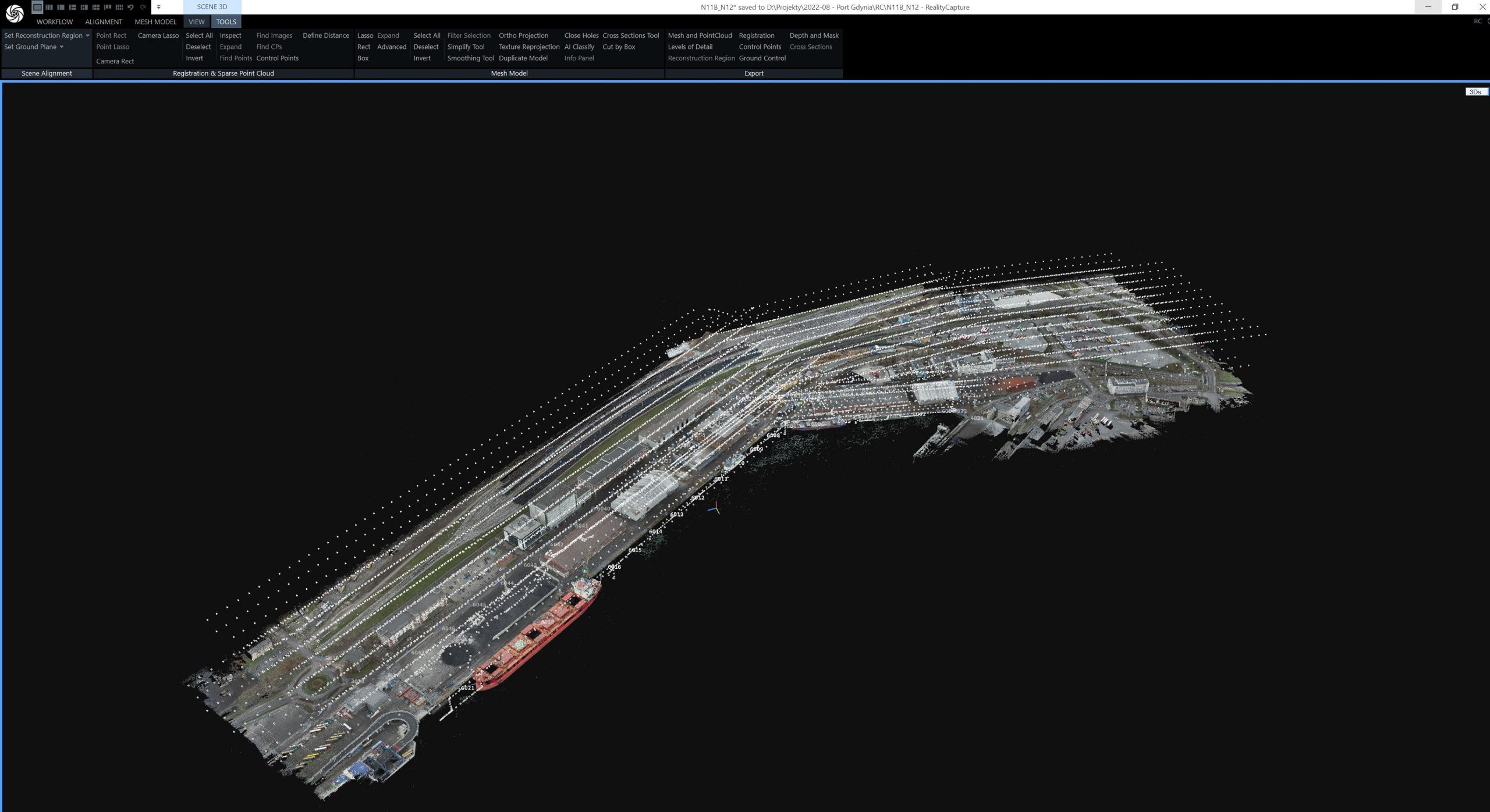
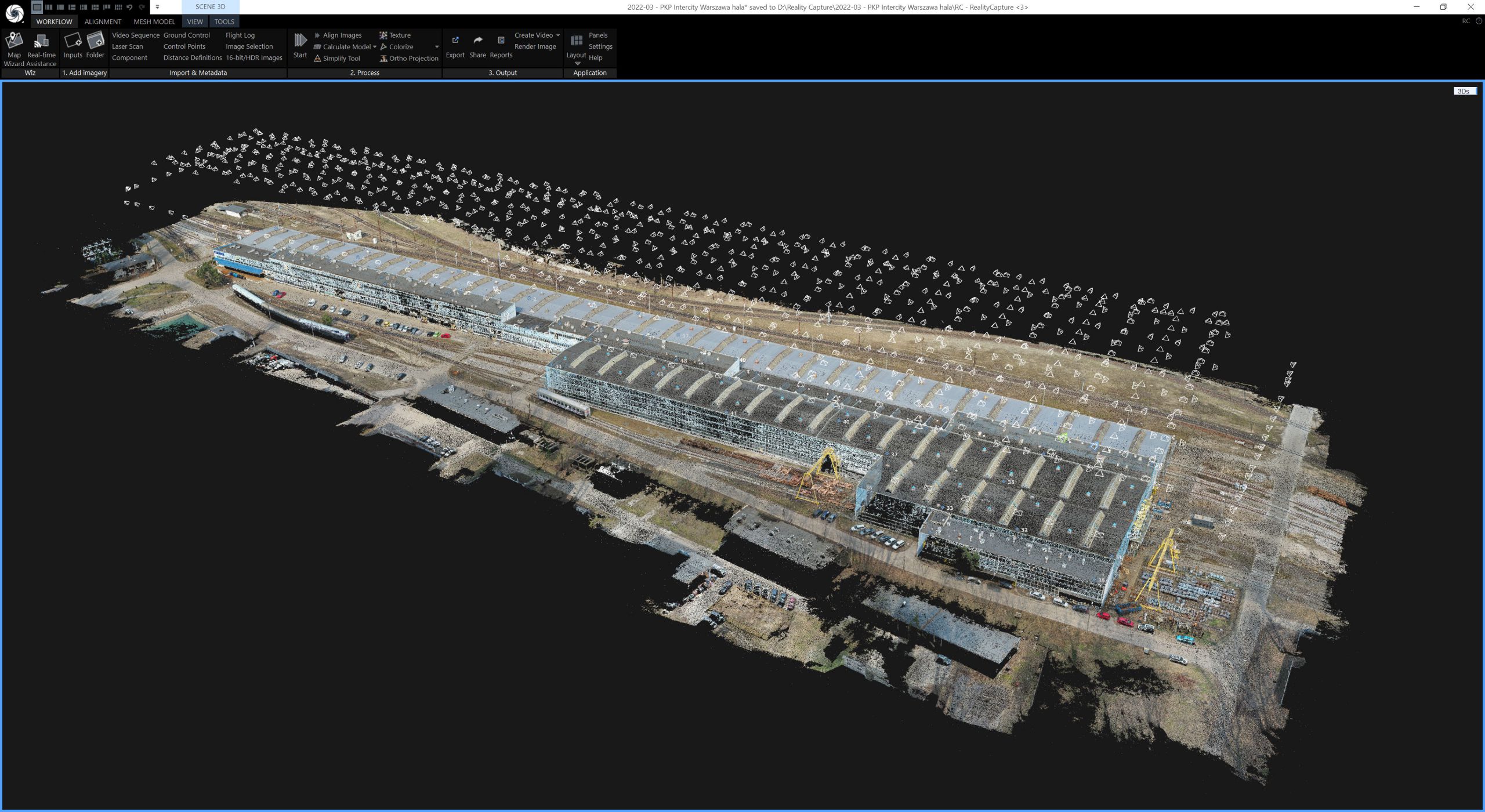
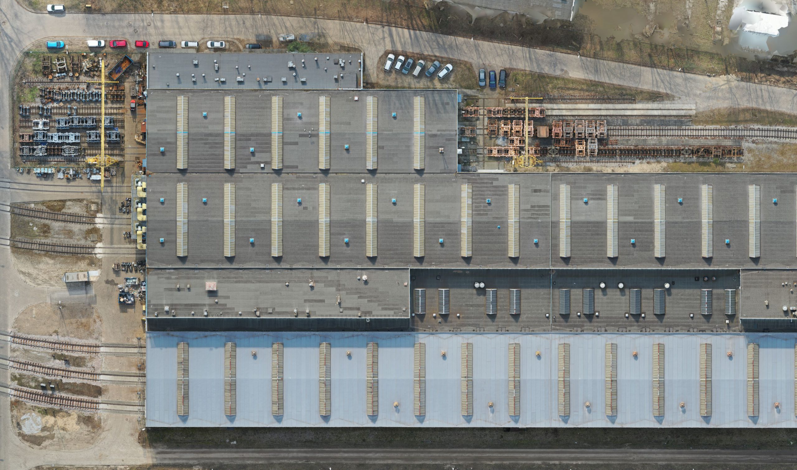
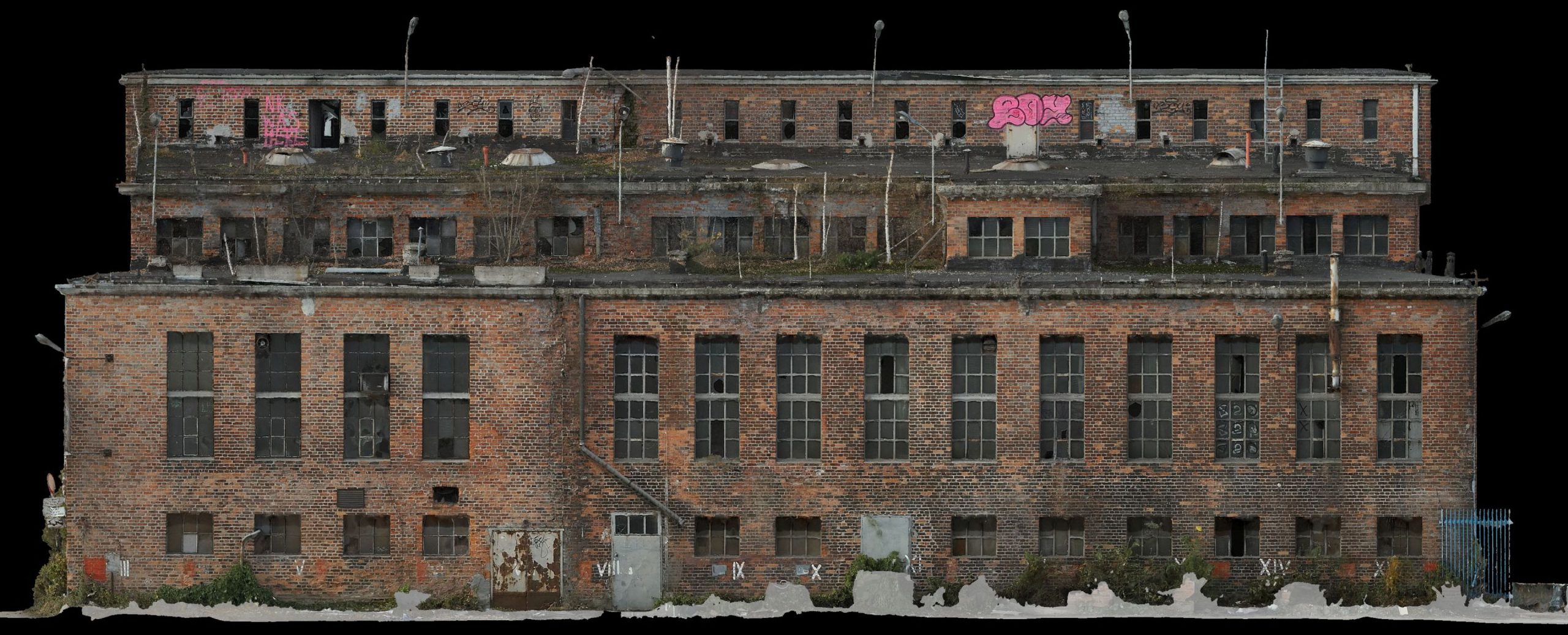
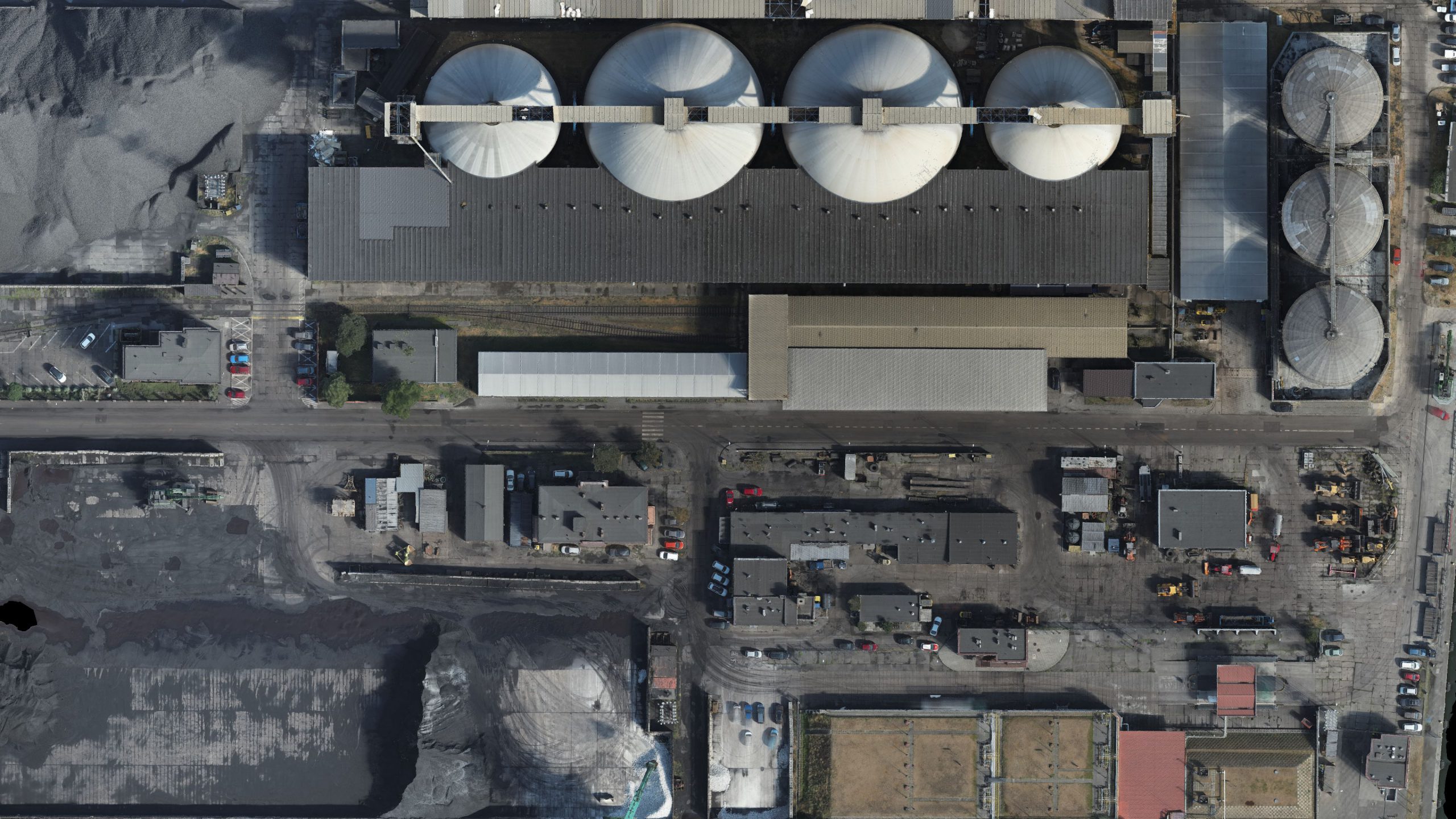
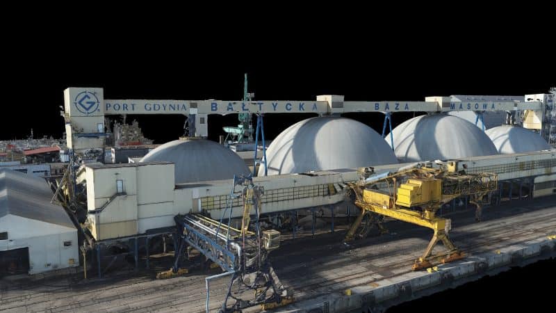
  • Photogrammetry is a technology for measuring objects based on photogrammetric photos. From the package of collected photographs, we obtain three-dimensional data (3D MESH models), using special computational algorithms for analysis. From these models, we generate point clouds, photorealistic 3D models and orthophoto maps. In effect, thanks to photogrammetric measurements, we obtain the exact geometry and photorealistic texture of the object.
  • Modern photogrammetry allows us to acquire 3D models with accuracy comparable to laser scanning. In SCAN3D, we successfully use both of these methods, taking advantage of each of them. In order to fully exploit the possibilities of both these technologies for professional applications, specialized equipment is necessary: high-resolution digital cameras, efficient and fast computers for the implementation of computational processes and modern photogrammetric software.
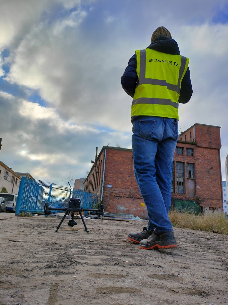
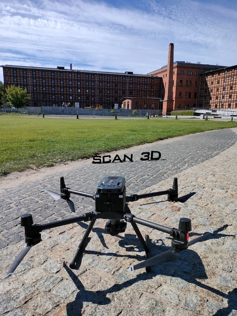
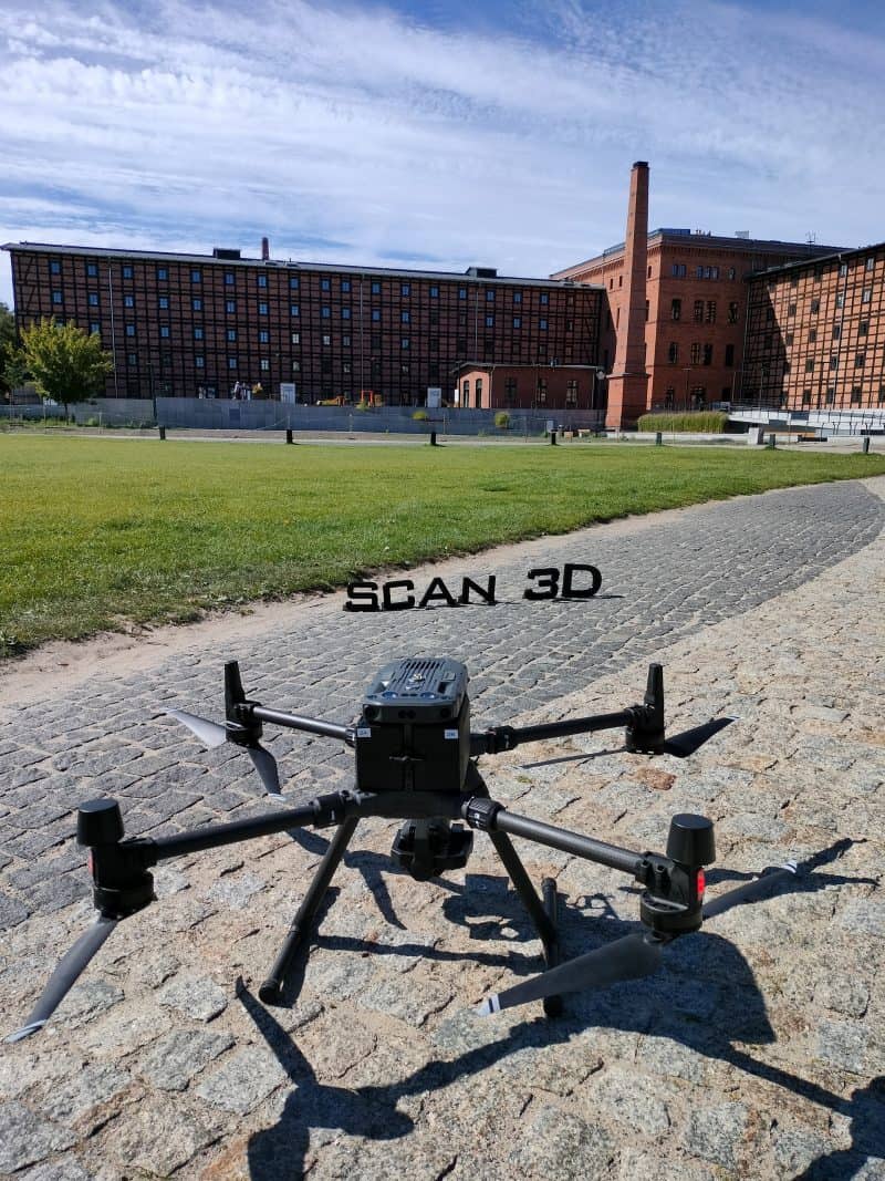
  • Photos for photogrammetry measurements can be obtained both from the ground and from the air. This makes photogrammetry a universal measurement method, regardless of the size or location of a given building or object. It allows you to create accurate models of terrestrial objects. Especially those that reach great heights or are difficult to access.

Photogrammetric measurements – how do we obtain data?

One of the greatest advantages of photogrammetry is the ease and speed of data acquisition. However, it is important to collect as much representative, high quality in-put material as possible. This is why:

1

Each time, in terms of given object and client requirements, we choose: shooting methods, types of lenses, optimal resolutions and additional equipment.

2

For photogrammetry measurements, we take a sufficiently large number of photos of a given object from different angles and overlapping shots. In this way, we minimize the risk of blind spots and holes in the resulting model.

3

We also use classical geodetic methods. With each order, we perform an additional measurement of photo-points in order to ensure the accuracy of developed 3D models.

Data post-processing – what software we use?

We use Reality Capture software to process data from photogrammetric measurements. In conjunction with the huge computing power of our computers, the program allows for the efficient processing of a large number of photos. Another advantage is the ability to automatically combine point clouds from laser scanning with data obtained using the photogrammetric method.

Products, that you order form us

Photogrammetric measurements are the basis from which you will get a visually attractive digital representation of reality. You will collect a package of data and measurements for further design. You will prepare the necessary documentation. You will do an inventory.

The final products that we deliver as part of the photogrammetric study are:

  • Photorealistic, dense, high-resolution point cloud.
  • Photorealistic 3D MESH models (textured mesh of triangles).
  • Orthophoto maps.

Take advantage of an effective way to quickly and fully recreate 3D geometry of the object.

Order photogrammetric measurement in SCAN3D.

Contact us