Home > Our Offer > 3D Point Cloud

3D Point Cloud


The point cloud is a basic result of 3D laser scanning or photo processing in photogrammetric measurement technology. It is a starting point for all further developments. We deliver raw data for further processing by the client or we prepare the final product by ourselves, in accordance with the client’s requirements. Use the exact geometric spatial mapping to manage facilities more efficiently and develop investment profitably.

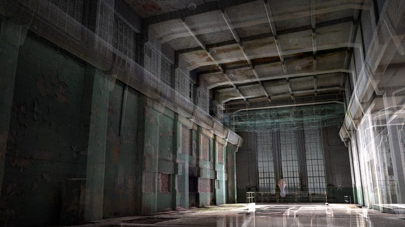
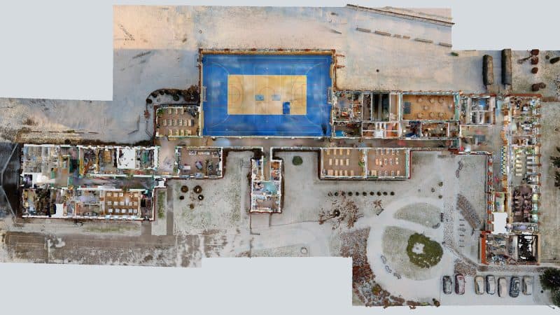
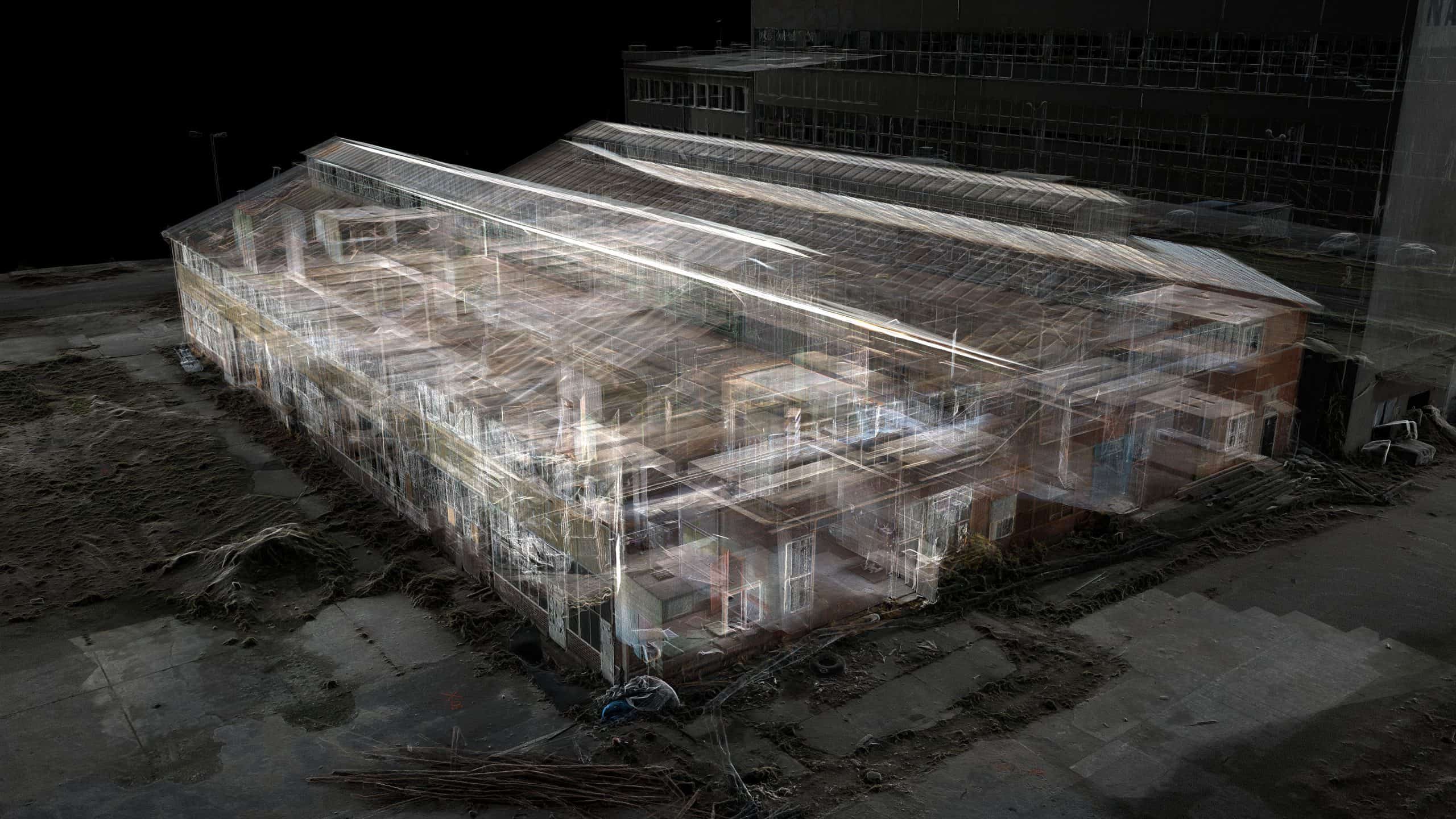
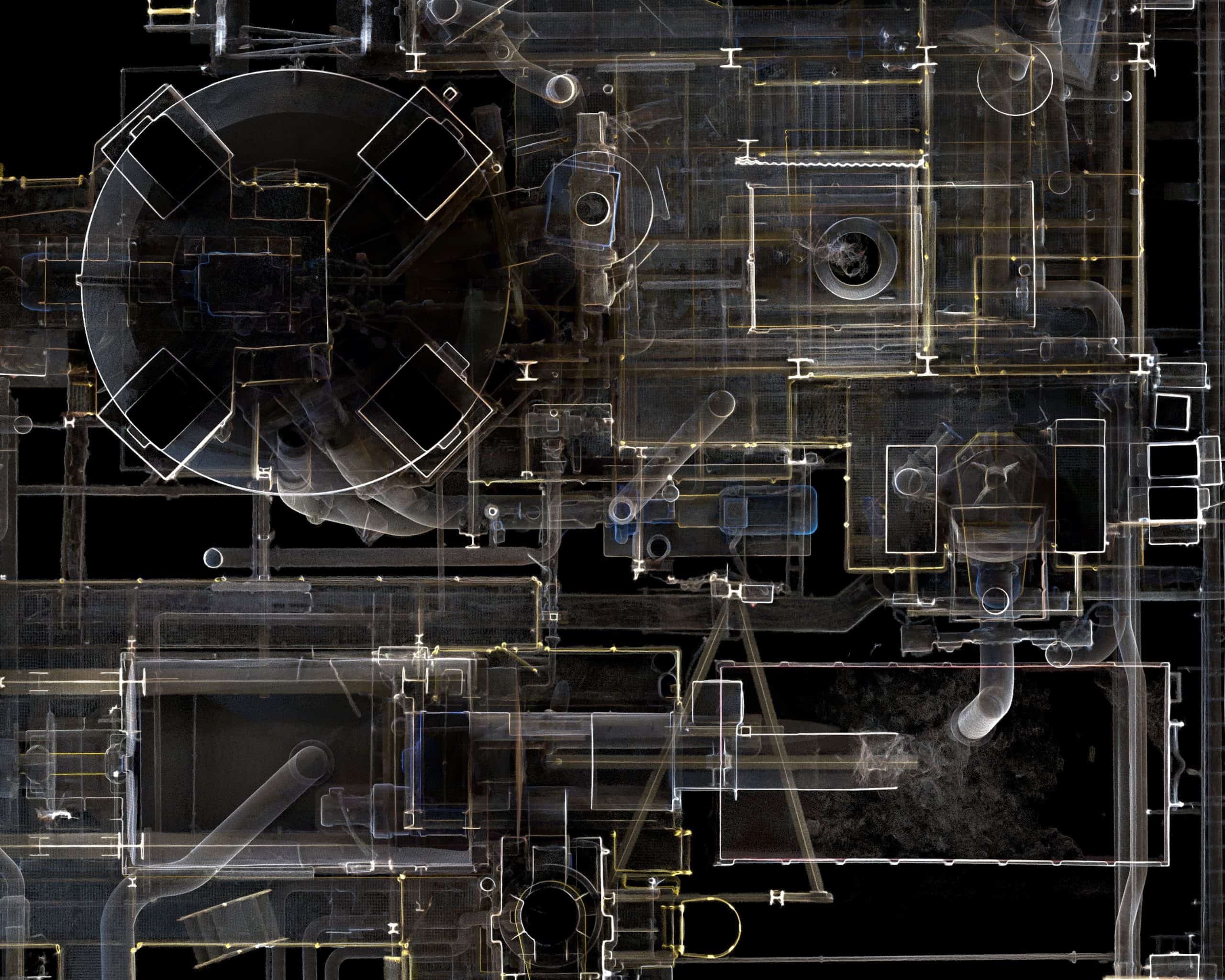
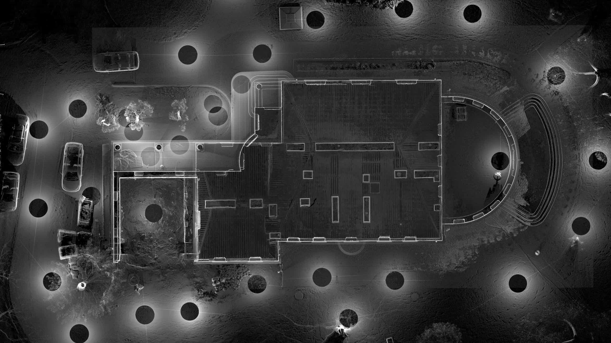
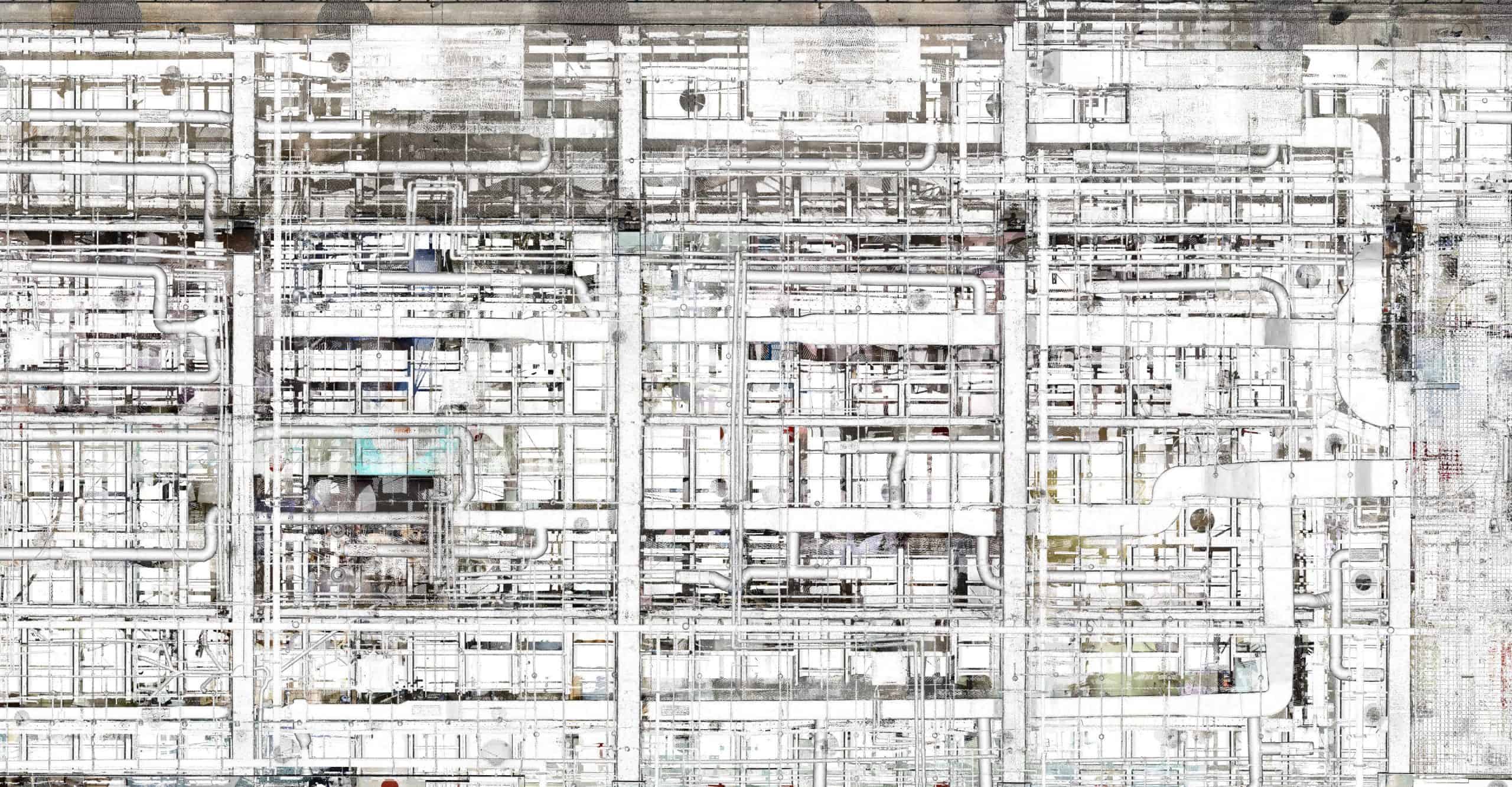
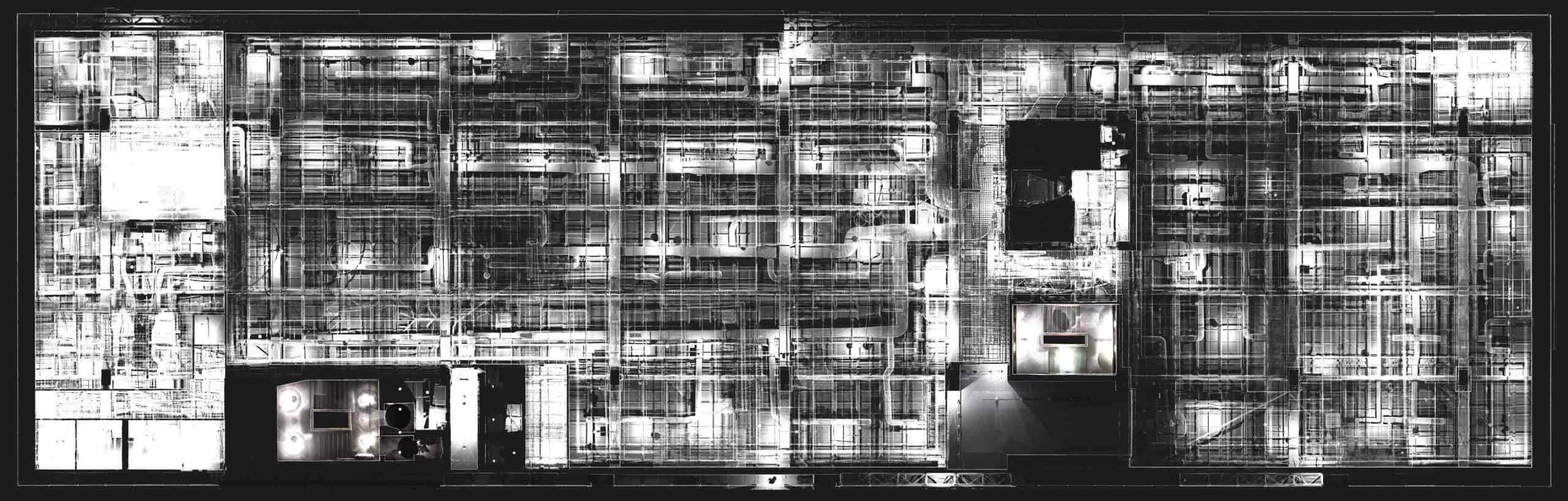
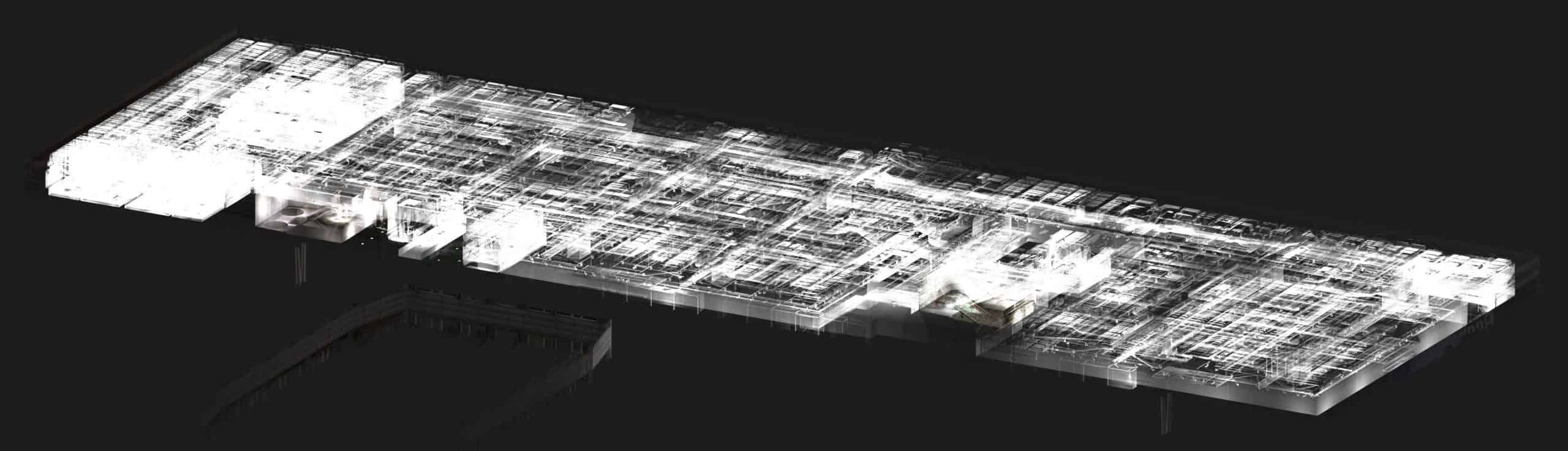
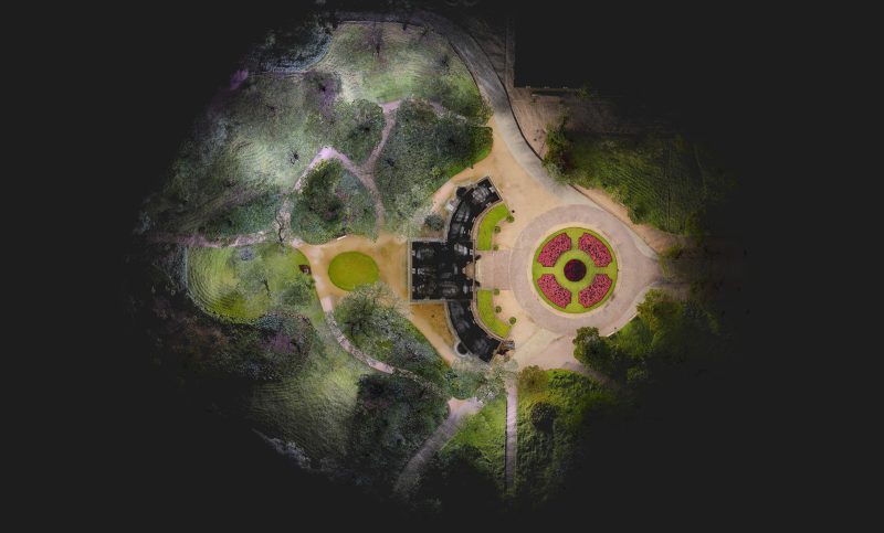
Point Cloud – product description

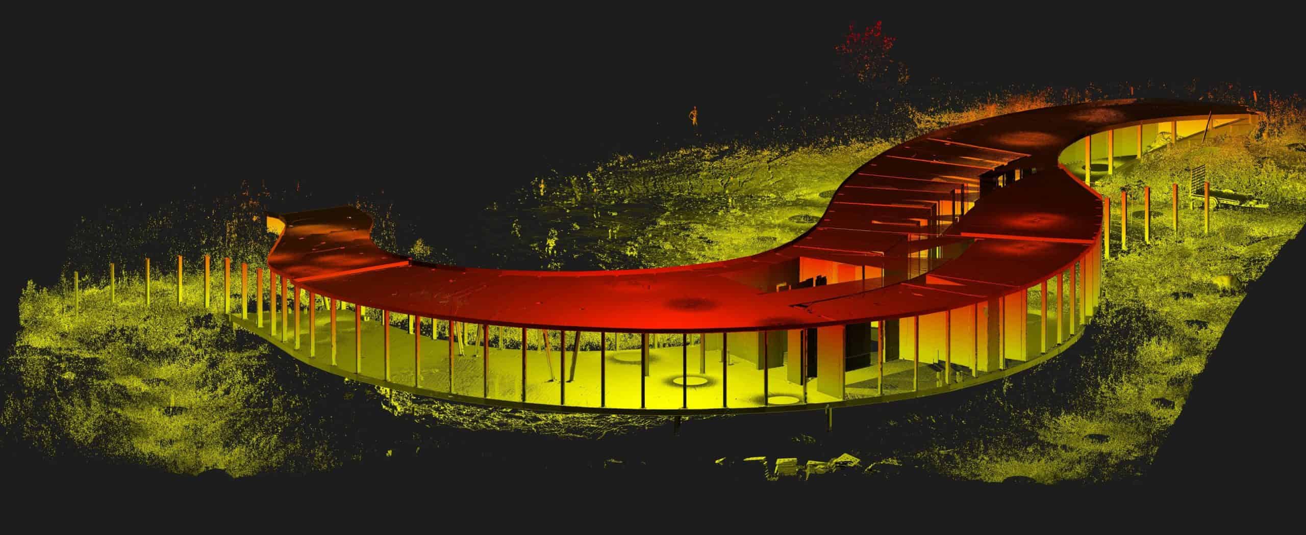
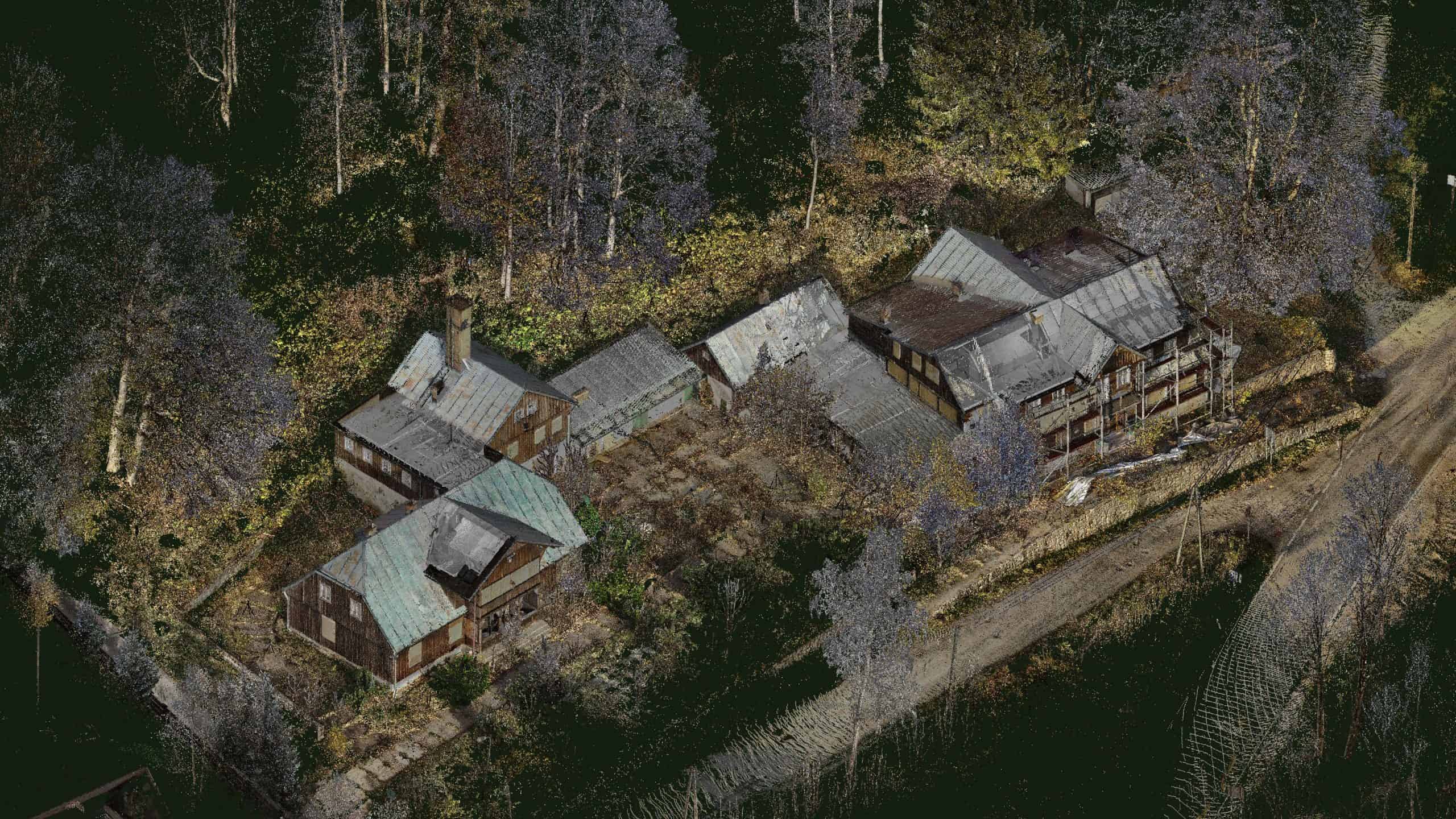
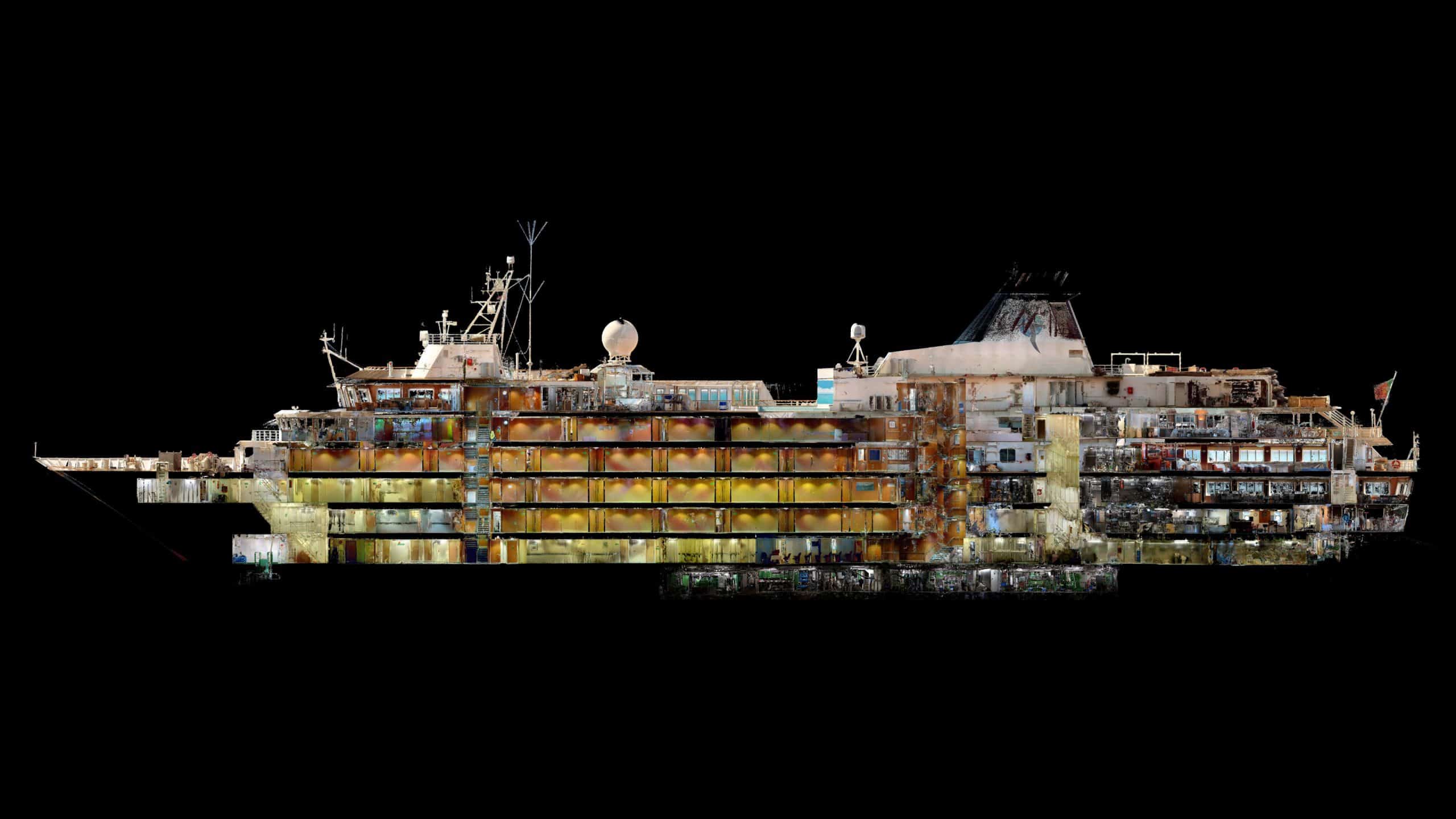
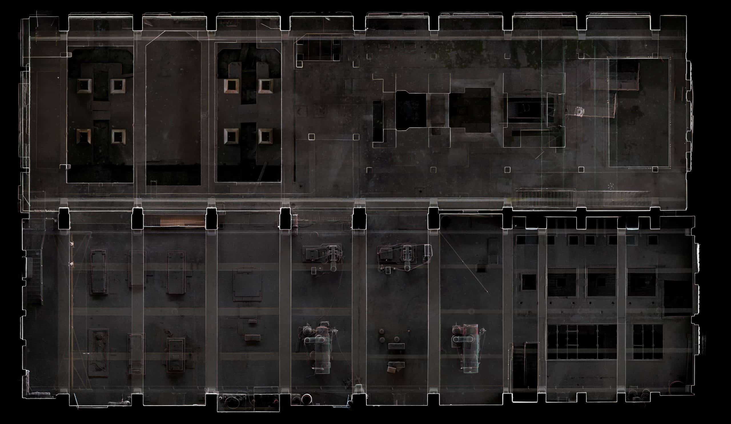
3D Point Cloud is a collection of points that is a geometric representation of scanned objects.  Each point in the cloud must contain information about its XYZ position in the coordinate system. Depending on the method and tool used to create a point cloud, the point may contain also information about RGB colour and the intensity of beam laser reflection. Using a built-in camera (as well as an external one), you can assign RGB values of pixels from the camera matrix to the point cloud. Thanks to that, the point cloud gains a realistic character and is perfect for visualization.

How do we acquire and process data? Explore our tools

The denser and more precise the point cloud, the more opportunities for further use of acquired data. We use only modern equipment that registers data with an accuracy of a few millimetres. We combine technologies, adapting our hardware resources to the client’s needs. How do we operate?

  • 3D point cloud from laser scanning is created using: FARO S70, Leica RTC360 stationary scanners, NavVis VLX mobile scanner and Artec Eva scanner (for precise 3D scanning of details).
  • Point Clouds from photos are obtained from photogrammetric flights.
  • For further data processing, we use Faro Scene, Leica Cyclone, 3DR, Revit, AutoCAD Plant 3D, Cadmatic, Aveva PDMS, ArchiCAD and RealityCapture software.
  • We deliver point clouds in grayscale or in the natural colour of the object.
  • We export the material to all standard file formats (including XYZ, e57, POD, RCS, PTX, LFM, PTS, LAS, LAZ).
  • If necessary, we also provide edited data – we cut out fragments of the cloud, modify the density, and filter the data.

Practical application of Point Cloud from photogrammetric images and 3D laser scanning.

3D Point Cloud is an extremely valuable source of data for many branches of industries. We carry out projects for companies representing various industries: energy, marine, construction, architecture and cultural heritage institutions. Point Cloud form photos or 3D laser scanning are starting data that can be used as:

  • The basis for documenting and digitizing museum objects and monuments.
  • Detection of collisions, deformations, and distortions in existing structures and surfaces.
  • Background for the preparation of 2D documentation, projections, sections, and orthophotos.
  • Output for 3D modelling, virtual walks, animations, and simulations.
  • As-built inventories of objects.
  • Control measurements during the construction process.
  • Examination of the volume of earth masses.

Order a Point Cloud in SCAN3D

If you are looking for an optimal solution for your investment, please contact us. We will gladly choose the appropriate technology.

Contact uk