Home > Our Offer > 2D/3D – 4D Inspections – 4D

2D/3D – 4D Inspections – 4D


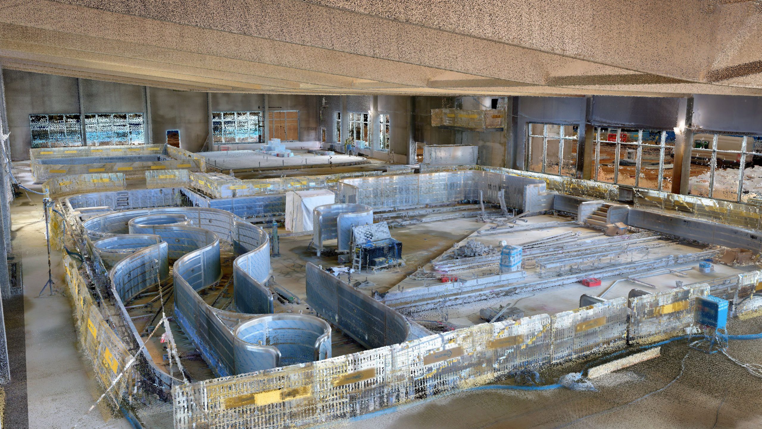
By the Inspections, we mean all methods of documenting reality that describe its state at a given moment in time. It’s important to capture examined object (or area) using methods that best reflects its characteristic.  Using a wide range of equipment, we can document the actual state or its change for any facility. From the perspective of Digital Construction, inspections ensure that the data that the user sees on the screen is up-to-date. Constant updating of the status of the construction site affects the quality and speed of construction work or making key decisions. Get more details of the 2D/3D – 4D Inspections offer in SCAN3D.

Types of inspections - description of technology

Inspections are divided according to the type of object, the possibility to carry out “observations” (flat, three-dimensional) and the type of equipment used for this measurement. We can carry out measurements by observing objects through photography or orthoimages and comparing successive states. We can also do it by analyzing changes in geometry or volume increase.

How do we collect data?

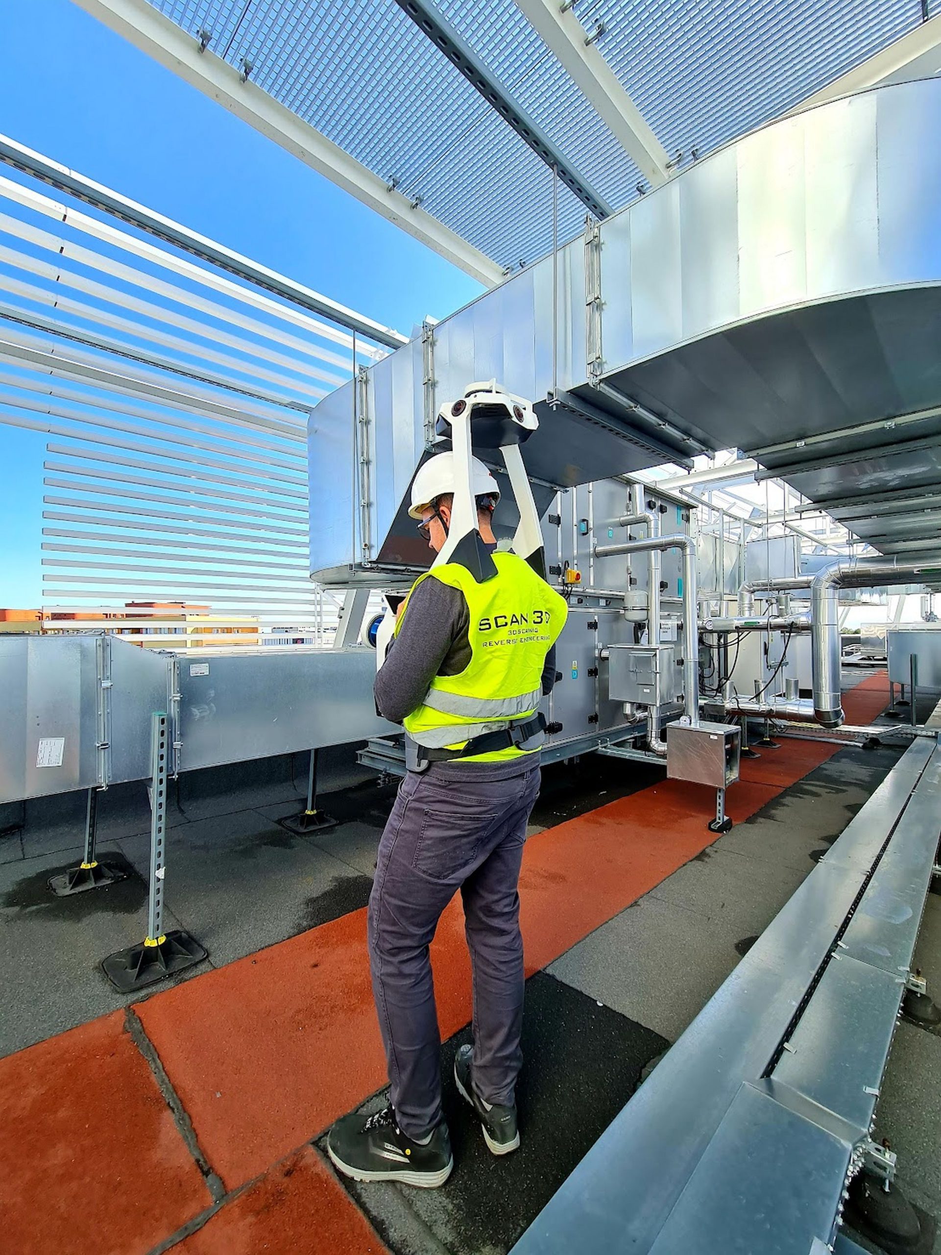
Usually, we conduct inspections from the general to the specific. Important for the success of the process is the overall picture of the object and its details, which are subject to close analysis. In the case of cyclical inspections involving the examination of shape changes, we always secure and measure reference points. They guarantee the stability of the structure over time.

Inspection equipment at our disposal

The type of equipment and measurement method are always selected for a given object, as well as the expected effect.  The most important thing for us is to understand the client’s needs and requirements for a given inspection. In our assortment you will find:

  • Cameras – professional DSLR cameras with high resolutions.
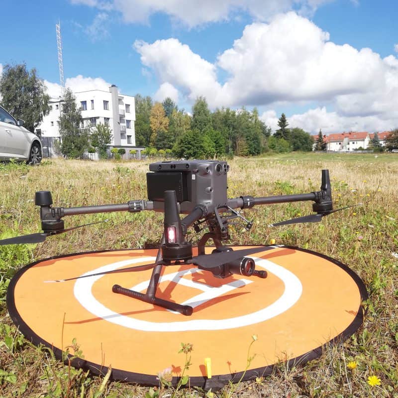
  • Industrial drones – DJI Matrice M300 with high-resolution P1 and L1 cameras.
  • Drones – DJI Phantom 4 PRO, DJI Mavic 2 PRO.
  • RICOH Theta, GOPRO MAX spherical cameras.
  • Matterport system with Matterport PRO 2 and PRO 3 camera.
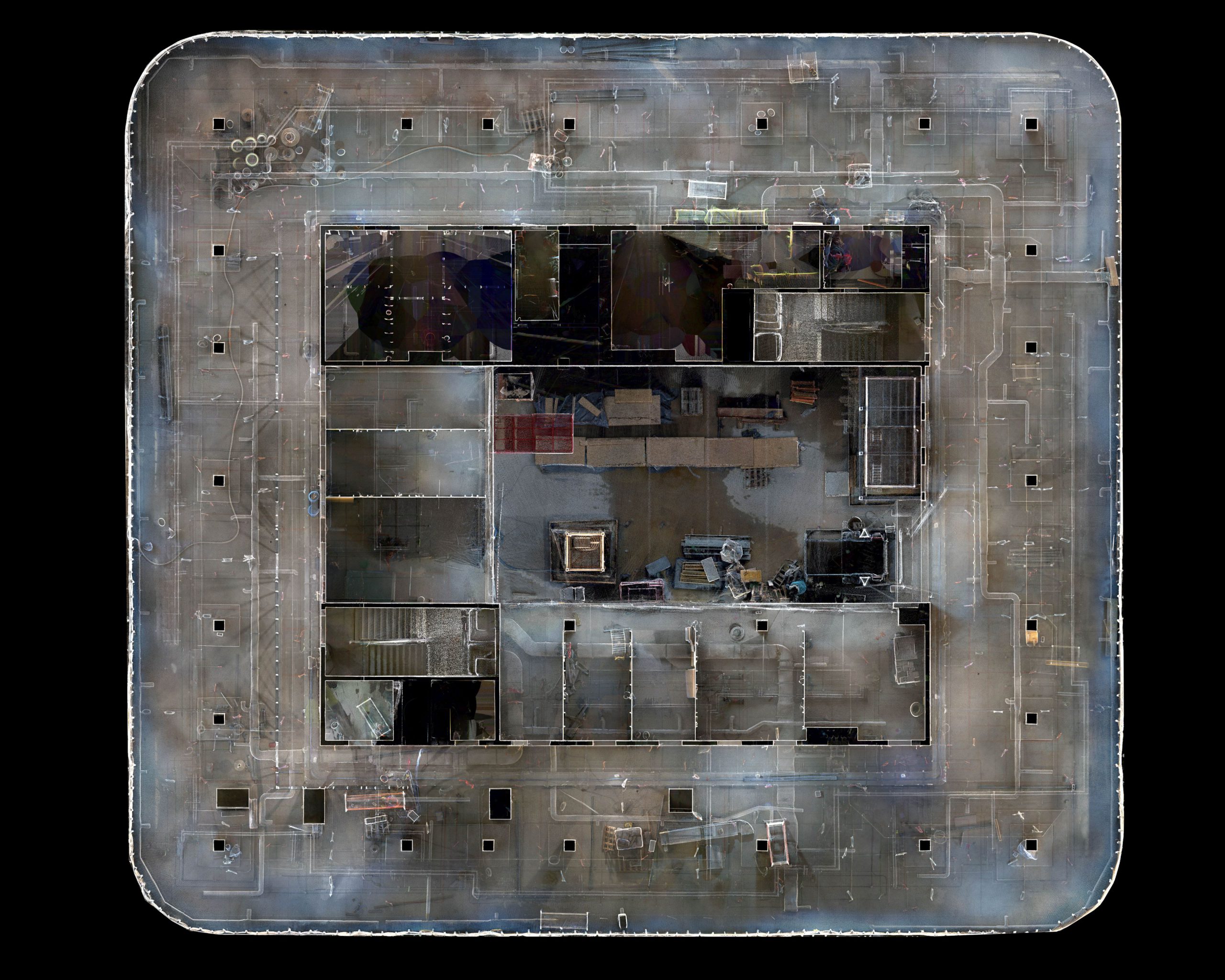
  • FARO FOCUS M and S – 3D Laser Scanners.
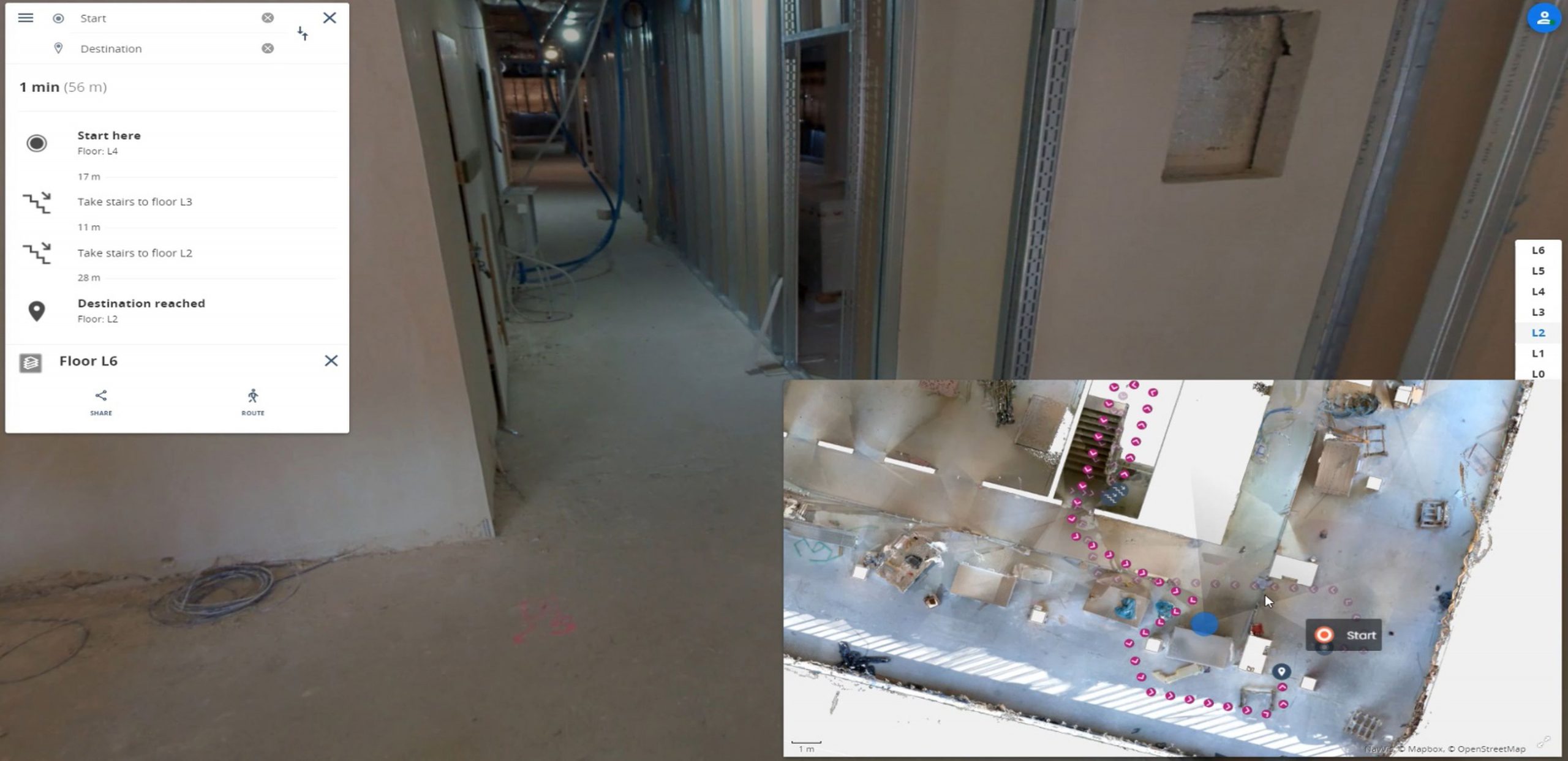
  • NavVis VLX mobile laser scanner.
  • Optical scanners: Artec Eva and Faro Arms measuring arms.

How do we develop our data for inspection?

Data processing can be divided into 2 stages:

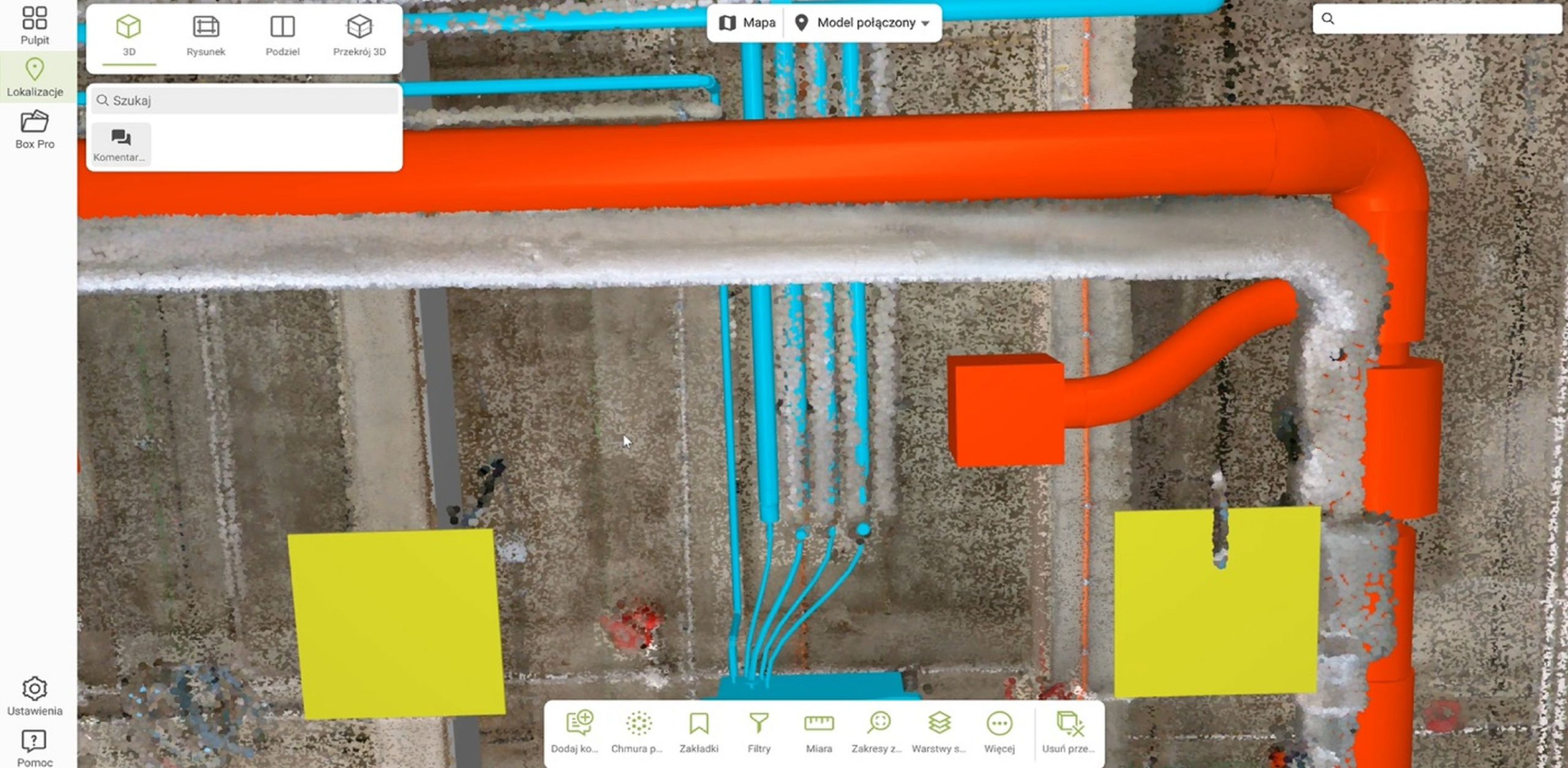
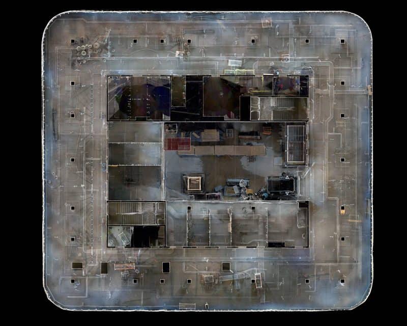
  • Preparation of the product from a given measurement session – developing data collected as part of 3D laser scanning and photogrammetric method,
  • Comparing results from various measurement sessions, allows us to conduct further analysis and formulation of conclusions.

Data prepared in this way are passed on to the client.

Products – environments, in which we can share the results

  • Flat photos in the form of a geoportal, e.g. SkySnap.
  • Orthophotoplans and orthophoto maps in the form of files and maps with geolocation.
  • Moment-specific and differential 3D models.
  • Virtual tour of Matterport.
  • FARO Webshare products – a combination of a virtual walk and work with a point cloud.
  • NavVis IVION – a comprehensive portal for managing data from a mobile scanner, point clouds and 360° panoramas.
  • Virtual walks in web browsers in online and offline versions.

Are you looking for a solution for your investment?

Contact us to choose 2D/3D inspection products best suited for you.

Contact us