GPR services - description of the technology
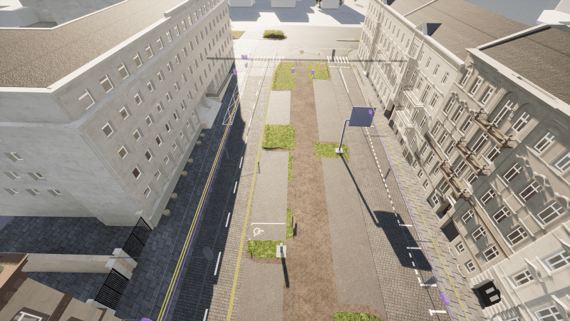
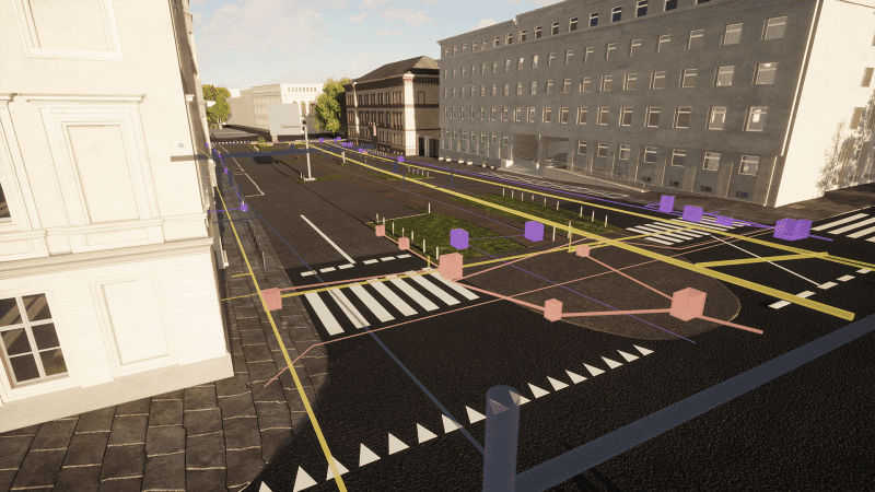
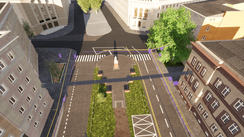
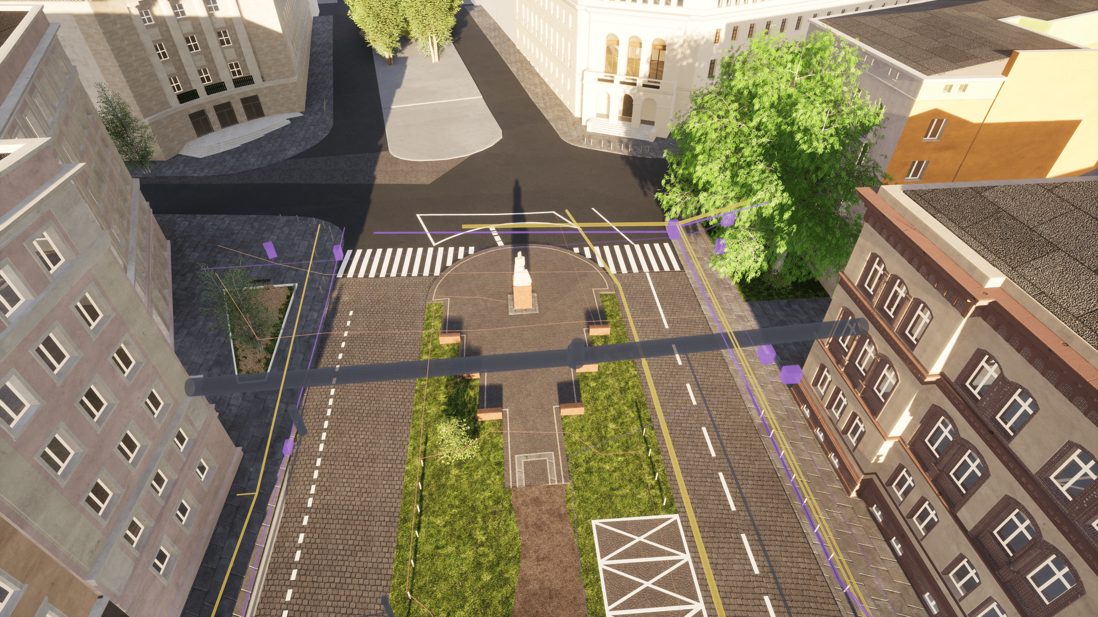
Ground Penetrating Radar Survey is a non-invasive and mobile method of obtaining high-resolution data on elements occurring under the surface of the surveyed area (earth, water, wood, asphalt and other surfaces). It uses information collected by recording the reflection of electromagnetic waves from layers with different dielectric properties.
GPR services are provided with Leica DS2000 dual-antenna georadar, which is convenient to manoeuvre. It allows you to:
- Mapping of underground structures.
- Detection of existing infrastructure elements under planned construction site.
- Locating damage.
- Realization of many other specialist detection tasks during various field works.
The examination of the course and depth of elements, performed with a georadar is preceded by field detection. At this stage of work, all sewage, telecommunications wells, etc. are analyzed.


