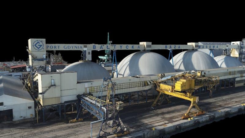
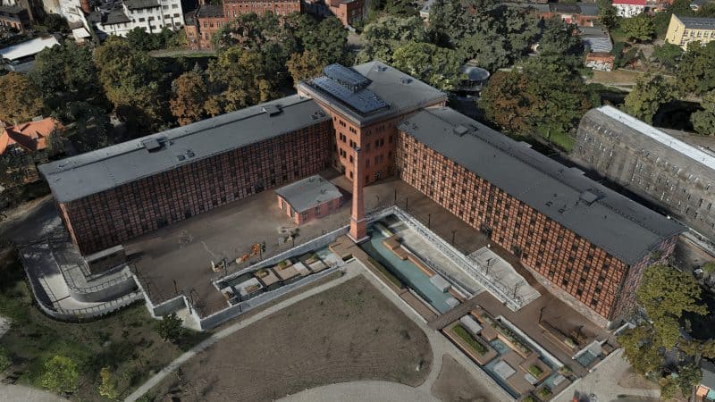
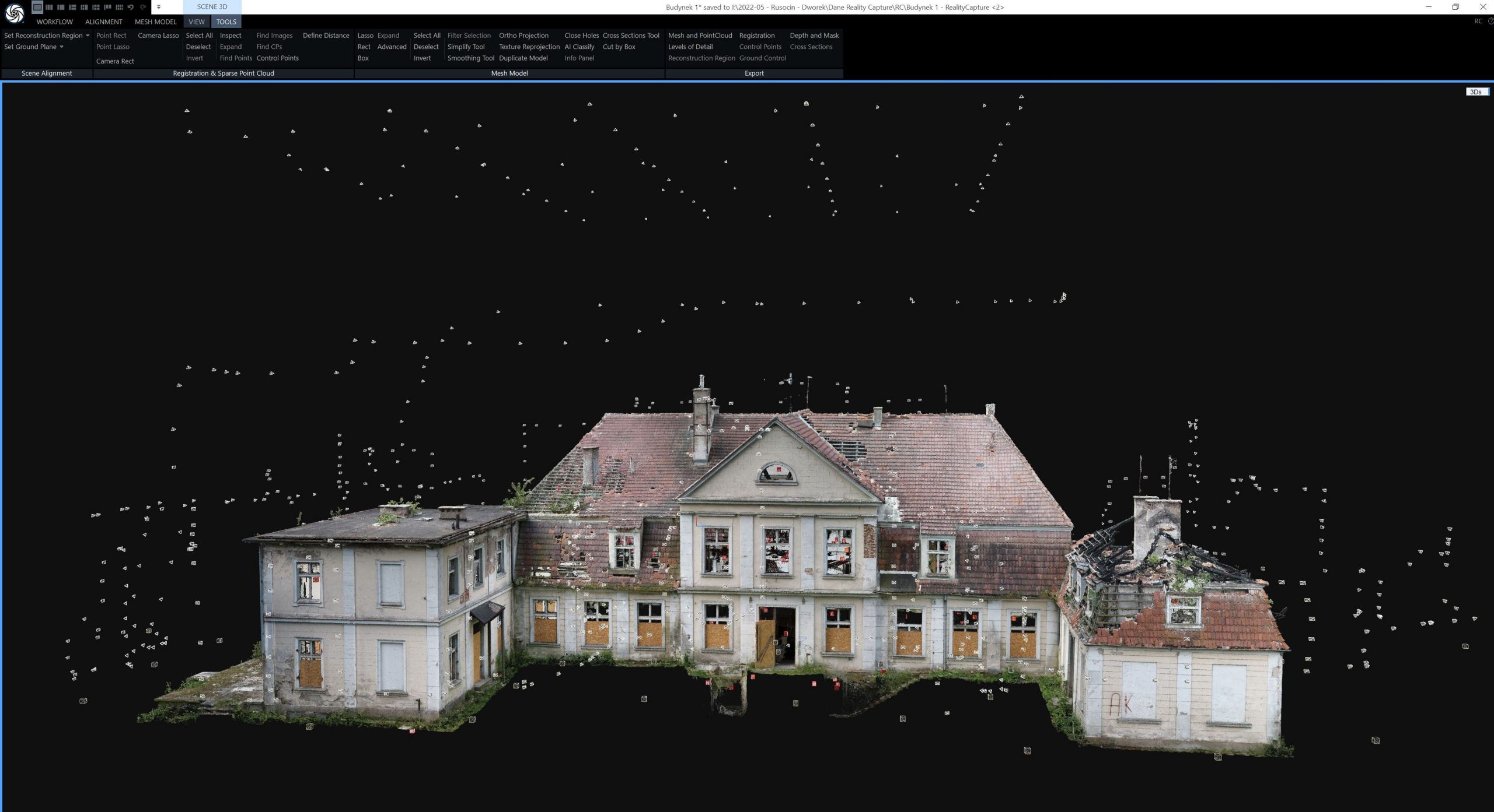
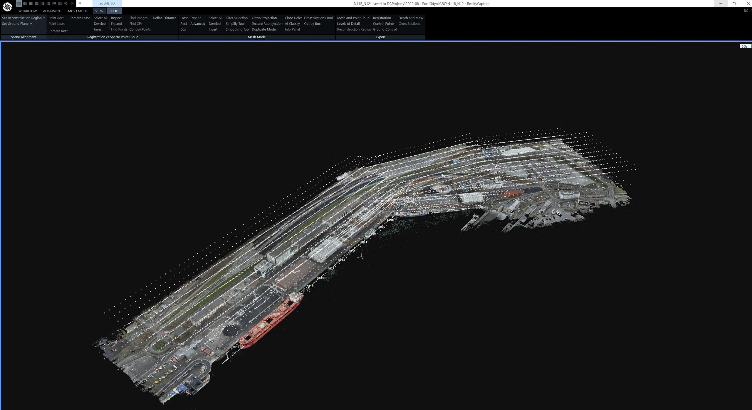
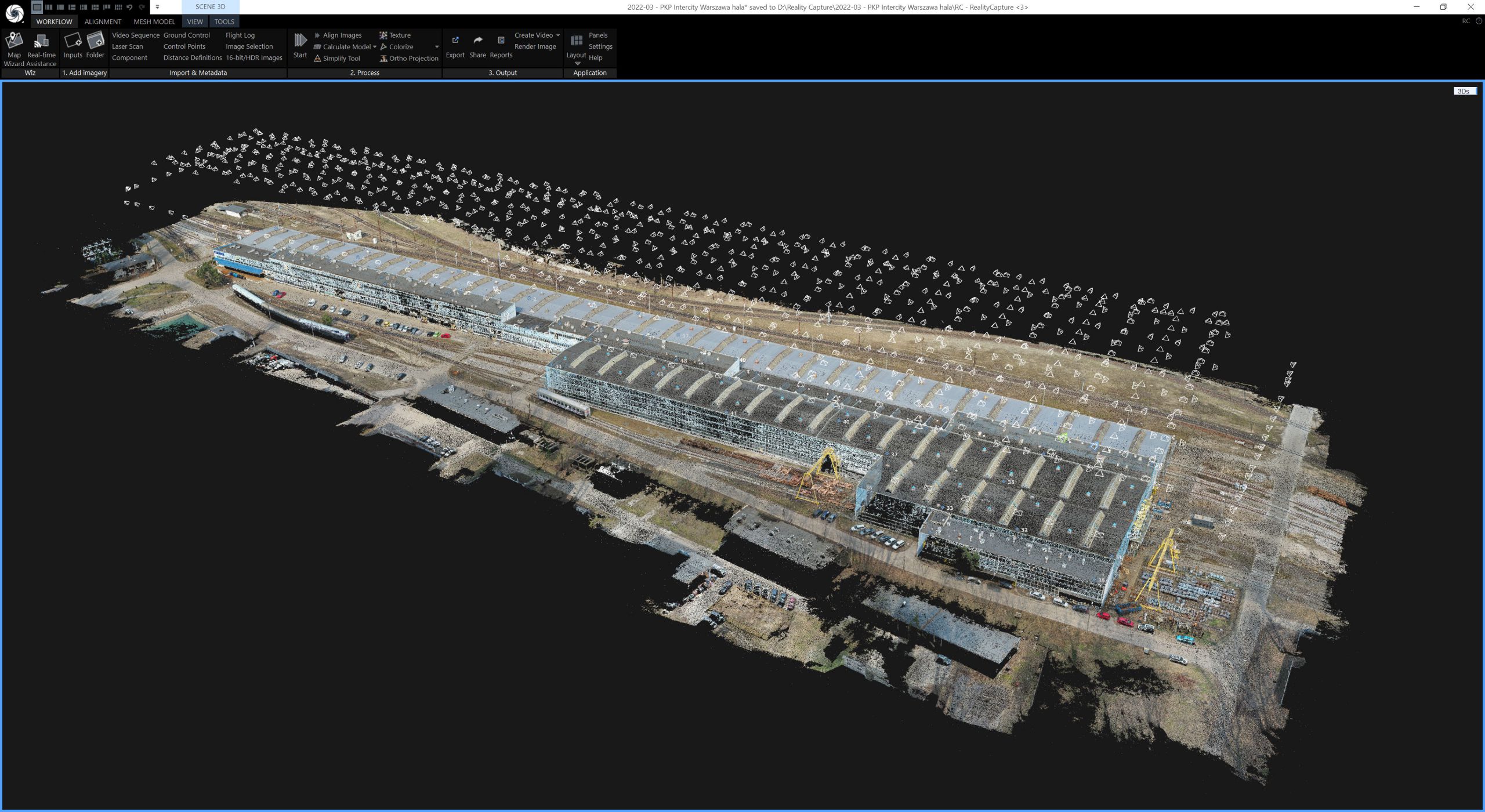
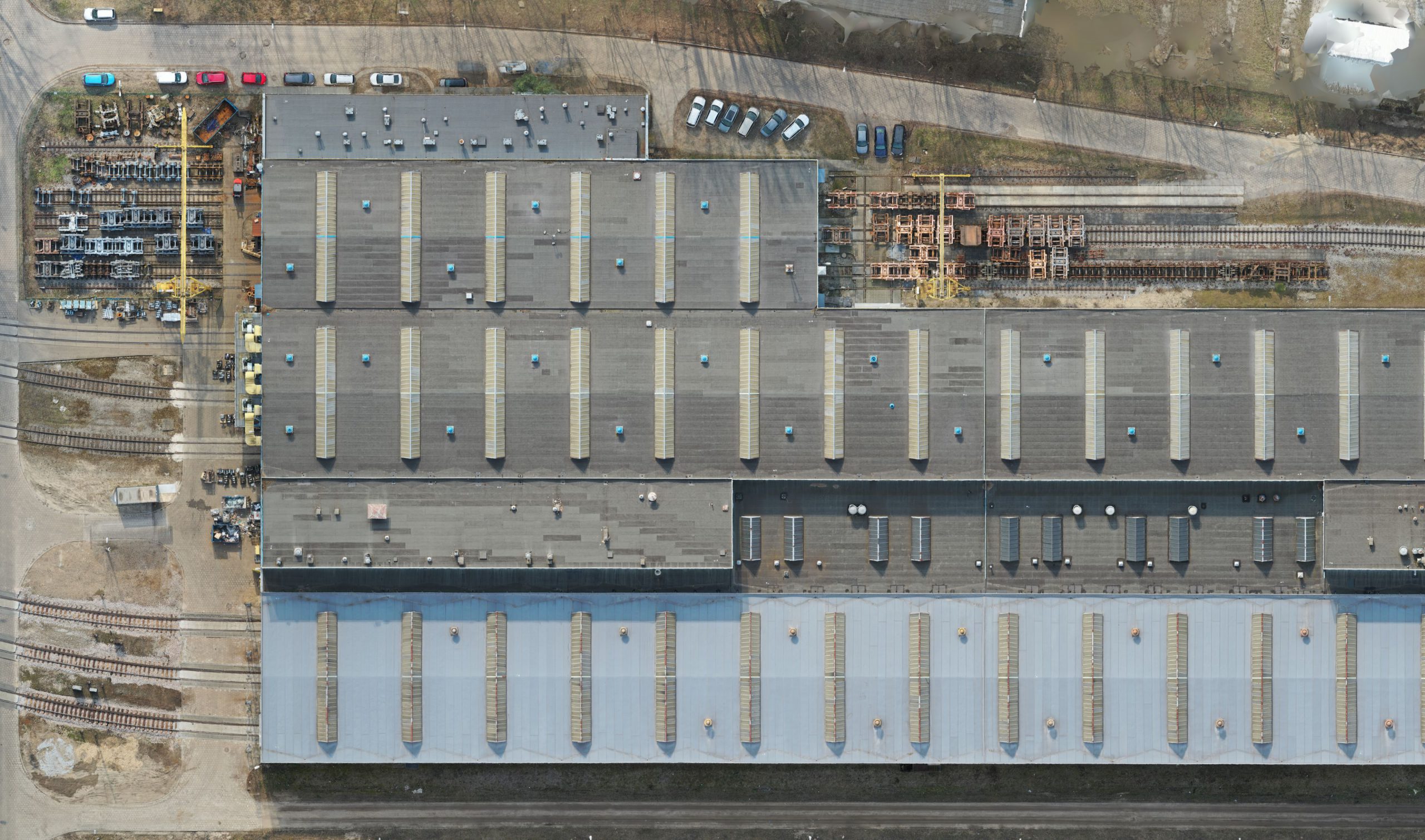
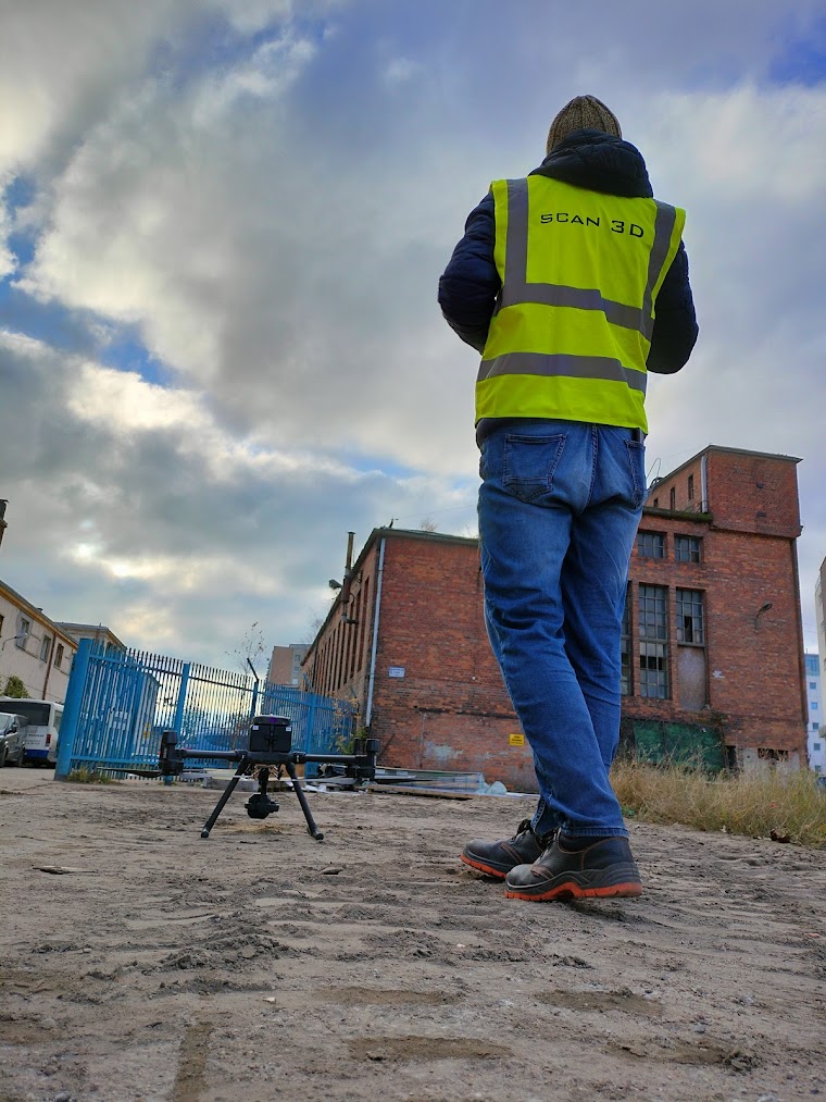
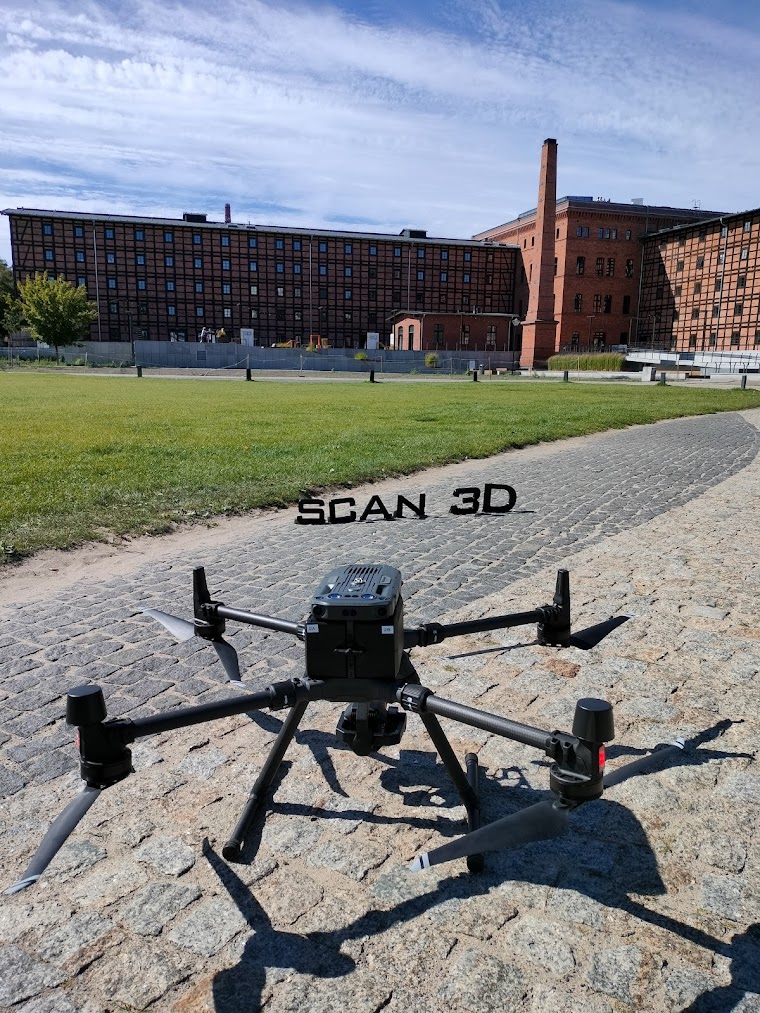
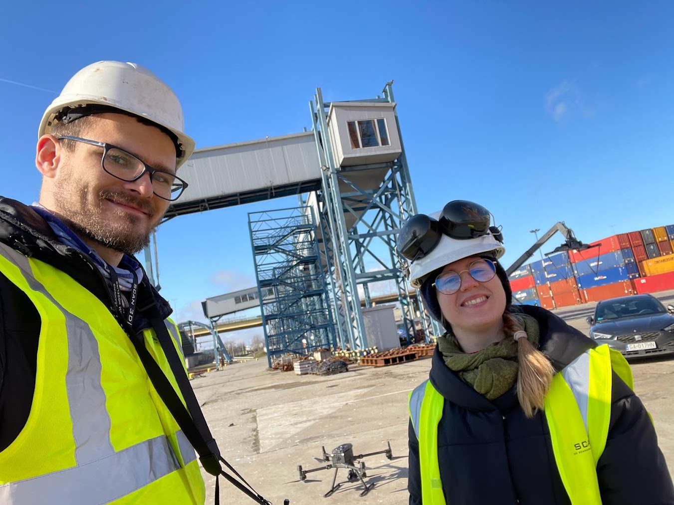
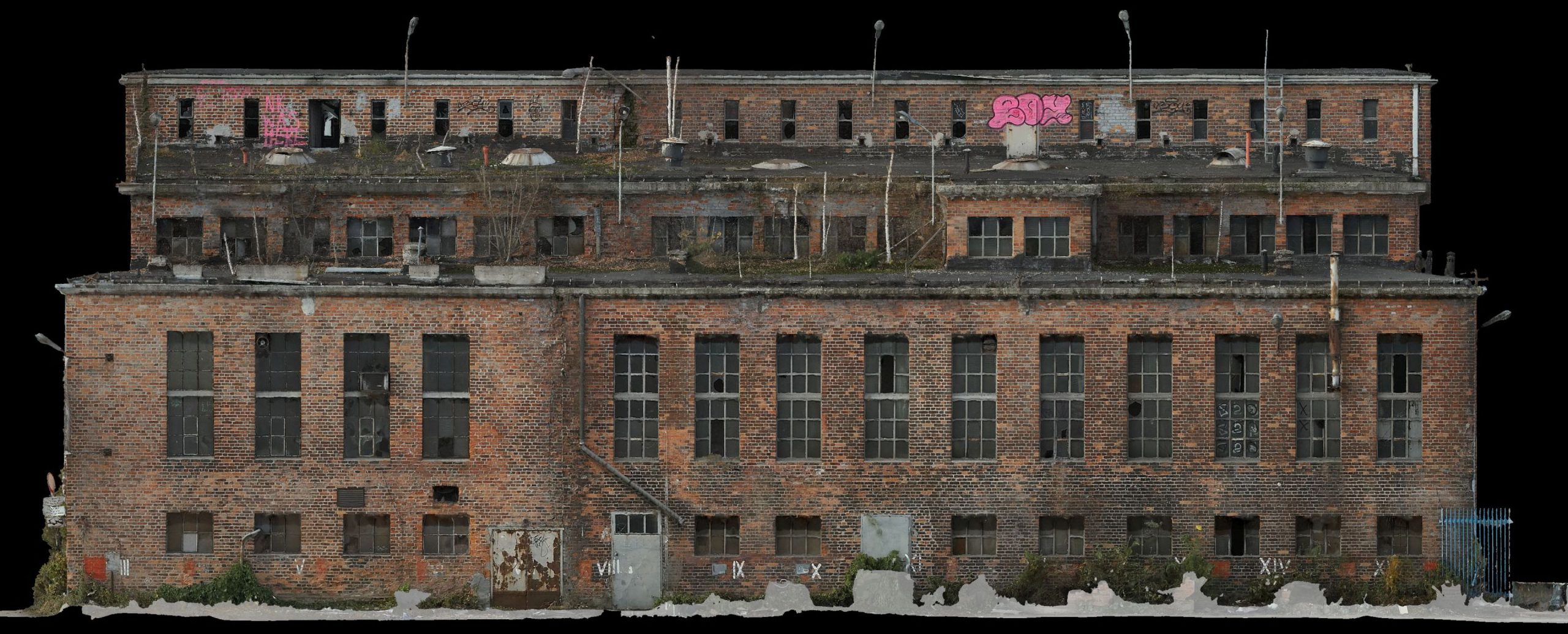
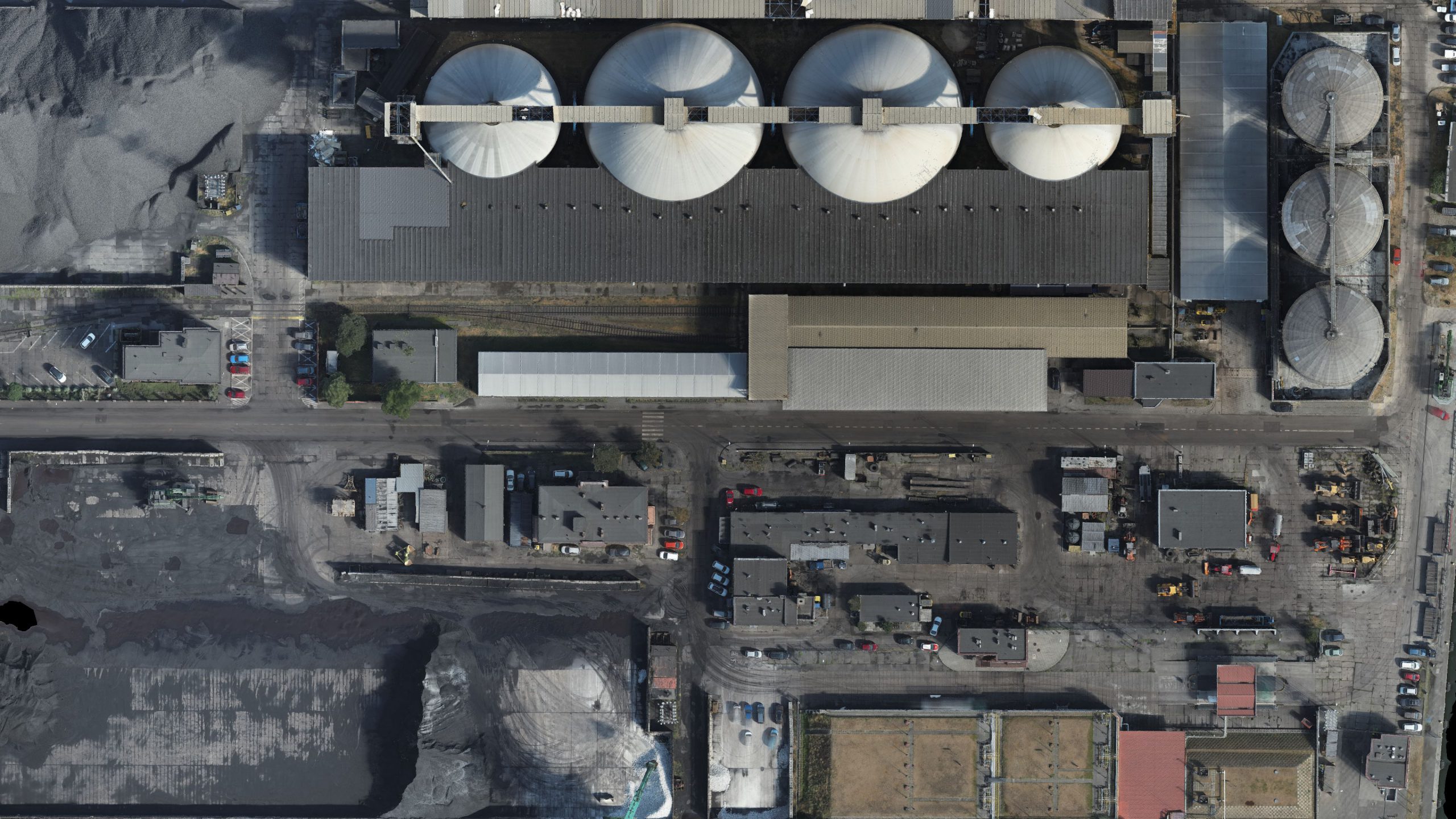
The main product we receive from the photogrammetric raid carried out with the help of BSP is:
- Digital Terrain Model (NMT), which is a digital reflection of the terrain surface
- Numerical Terrain Coverage Model (NMPT), which presents the surface model with natural and anthropogenic elements.
These models have found a number of applications in the following industries: construction, road, mining, telecommunications, monuments, tourism and agriculture.
We use drones for tasks related to various types of inspections of hard to reach places, e.g. wind farms, roofs, heaps, etc., by taking photos or video recordings. UAVs have also been used in works related to the assessment of the technical condition of buildings and critical infrastructure facilities. The ability to create 3D models of real objects with a combination of 3D laser scanning allows for faithful reproduction of buildings, cultural heritage objects and others.
We also use unmanned aerial vehicles to create orthophotomaps, which are characterized by parameters that enable the update of basic maps, regulation of legal status or use as material for further spatial planning.
Non-metric photos taken from the raid allow you to obtain a three-dimensional model, by recognizing the same points from multiple camera positions. Then, the 3D model can be presented as a dense point cloud and subjected to further spatial analysis and calculations.
MAIN ADVANTAGES:
- faster acquisition of spatial data compared to classic measurements,
- high quality of the final product,
- the ability to combine data with laser scanning, obtaining even greater accuracy and quality,
- non-invasive measurement of hard to reach areas,
- great way to visualize data.
APPLICATION:
- development of 3D models,
- creating orthophotomaps,
- technical inspections of hard-to-reach objects,
- creating a Digital Terrain Model and a Digital Terrain Model,
- photos, aerial panoramas 360.
3D scanning and reproduction of the 3D model of the mill located in Lithuania
Our company carries out orders using 3D laser scanning not […]
3D scanning of ships to modernize ballast systems
As part of one order, an attempt was made to […]
3D scanning and 3D modeling of the production hall
One of the industrial projects that was carried out concerned […]
3D scanning of the production hall
Designing additional systems or modern solutions for existing facilities, such […]
3D scanning of the refinery
Scanning an object such as a refinery is a challenge […]
Mesh model – drone measurement
Currently, drones are a widely used instrument in the world […]

Mobile scanning in Kostrzyn
To create a database for later inspection of the road […]
3D scanning of the cave as part of the training
Together with the students of National Higher School of Film, […]
3D scanning of the Metropolitan Curia in Warsaw
The purpose of the order was to make an inventory […]
3D scanning of the synagogue in Tarnów
3D laser scanning is increasingly used to present historic objects […]

3D scanning of yacht in Puck
3D scanning was used to faithfully reconstruct the yacht’s hull […]
3D scanning of cruise ship Aida Diva
The aim of the AIDA Diva laser scanning was to […]
3D scanning of the Costa Diadema and Costa Pacifica
The Costa Pacifica and Costa Diadema cruisers have been scanned […]
3D modeling of ship tanks
One of the projects from the maritime industry concerned the […]
3D scanning of the Madrit Spirit
One of the interesting ships that was scanned was undoubtedly […]