Home > Our Offer > 2D, 3D Georadar (GPR) Survey

2D, 3D Georadar (GPR) Survey


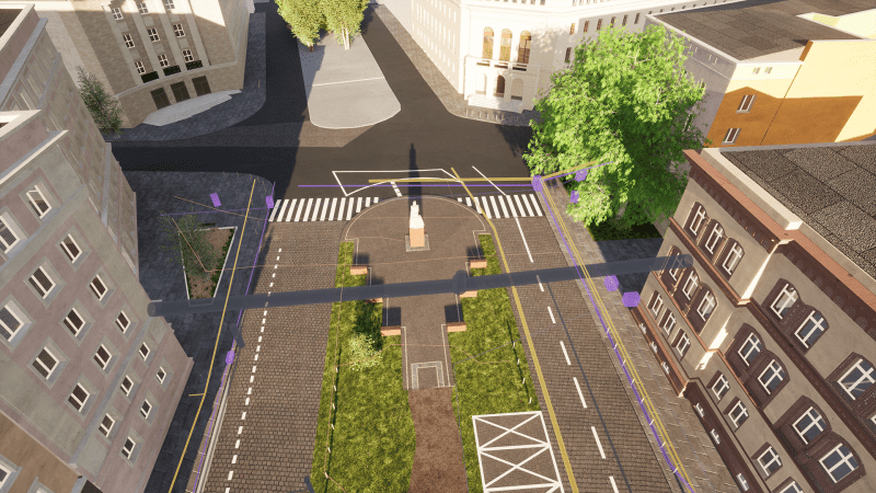
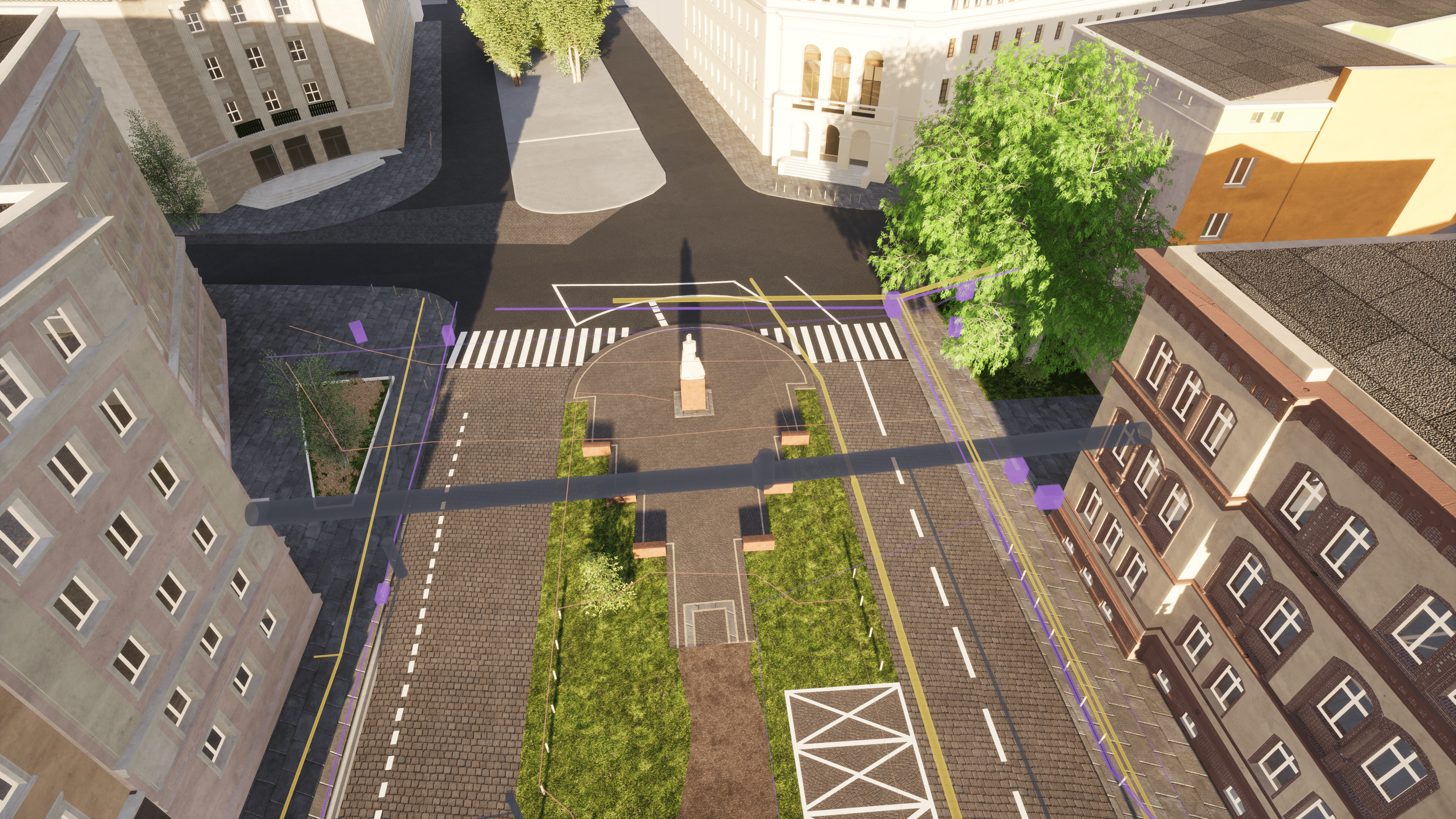
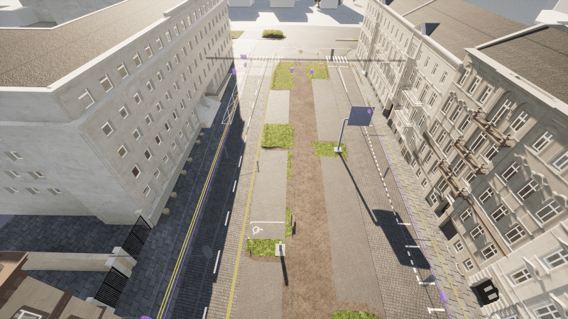
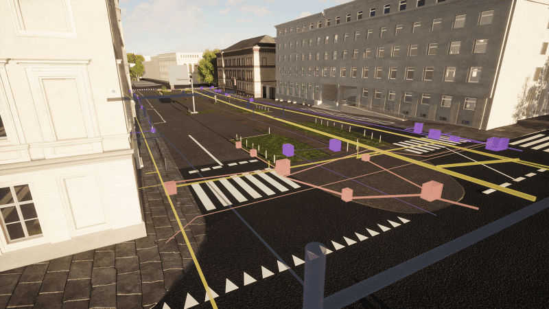
W offer Ground Penetrating Radar Survey with a measurement accuracy of several centimetres. Thanks to them, you will receive data about underground infrastructure, which is necessary to ensure the safety of the construction site, measurement or inventory work. We detect elements even less than 6 meters below the surface. We provide documentation in the form of 2D plans or 3D models. Check what you will gain from it.

GPR services - description of the technology

Ground Penetrating Radar Survey is a non-invasive and mobile method of obtaining high-resolution data on elements occurring under the surface of the surveyed area (earth, water, wood, asphalt and other surfaces). It uses information collected by recording the reflection of electromagnetic waves from layers with different dielectric properties.

GPR services are provided with Leica DS2000 dual-antenna georadar, which is convenient to manoeuvre. It allows you to:

  • Mapping of underground structures.
  • Detection of existing infrastructure elements under planned construction site.
  • Locating damage.
  • Realization of many other specialist detection tasks during various field works.

The examination of the course and depth of elements, performed with a georadar is preceded by field detection. At this stage of work, all sewage, telecommunications wells, etc. are analyzed.
How will you benefit and where will you apply?

Detailed characteristics of underground infrastructure are often a key stage of design work for numerous industries. GPR services we provide allow investors to avoid collisions resulting from a lack of information about the situation below the surface. Thanks to this, they can offset possible costs of design or eliminate the risk of suspending construction works. Collected data not only minimize the investment risk but also make it possible to develop technologically and cost-effective construction and logistics solutions for further works. We realize measurements and documentation for construction engineering, various industries, archaeology, construction, environmental protection, forensic science, and geotechnics. What can we verify thanks to GPR services?

  • Presence, condition and surface of various installations, pipes, cables, fibre optics, existing water and sewage networks or waterworks.
  • The area is occupied by former foundations, building voids, basements, and faults.
  • Presence and technical condition of reinforcements, anchors, piles and other excavation reinforcements (securing?)
  • Technical condition of roads, bridges, tracks, and runways.
  • Structures of ruins, graves, and burial places.
  • Location of surface anomalies for geotechnical works.
  • Places of dangerous spills, landfills, and toxic substances.

Effective detection of the underground infrastructure of your investment - how do we operate?

GPR services are performed w close cooperation with the client. In order to ensure the highest accuracy of spatial data of underground infrastructure, facility or object, we carry out work in several steps:

  • Listening and understanding client needs.
  • Selection of the appropriate detection technology.
  • Close cooperation with clients.
  • Collection and verification of available documentation.
  • Detection of underground infrastructure in the field using georadar and electromagnetic locators.
  • Spatial measurements of localized underground infrastructure and other facilities using geodetic methods.
  • Complementation and connection of acquired data along with the development of a 3D BIM model, maps for design purposes and other studies.

What will you order from us? 2D and 3D products with GPR detection

The wide range of offered georadar services allows us to develop final products optimally tailored for client needs:

  • Maps and spatial analysis of the terrain.
  • Reports on the condition of underground utilities.
  • Measurements and updates of underground utility data.
  • 3D BIM models.
  • Visualizations

Do you need a Ground Penetrating Radar Survey?

Choose a product for yourself and order a service in SCAN 3D.

Contact us