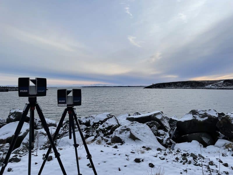
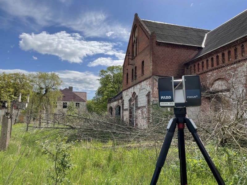
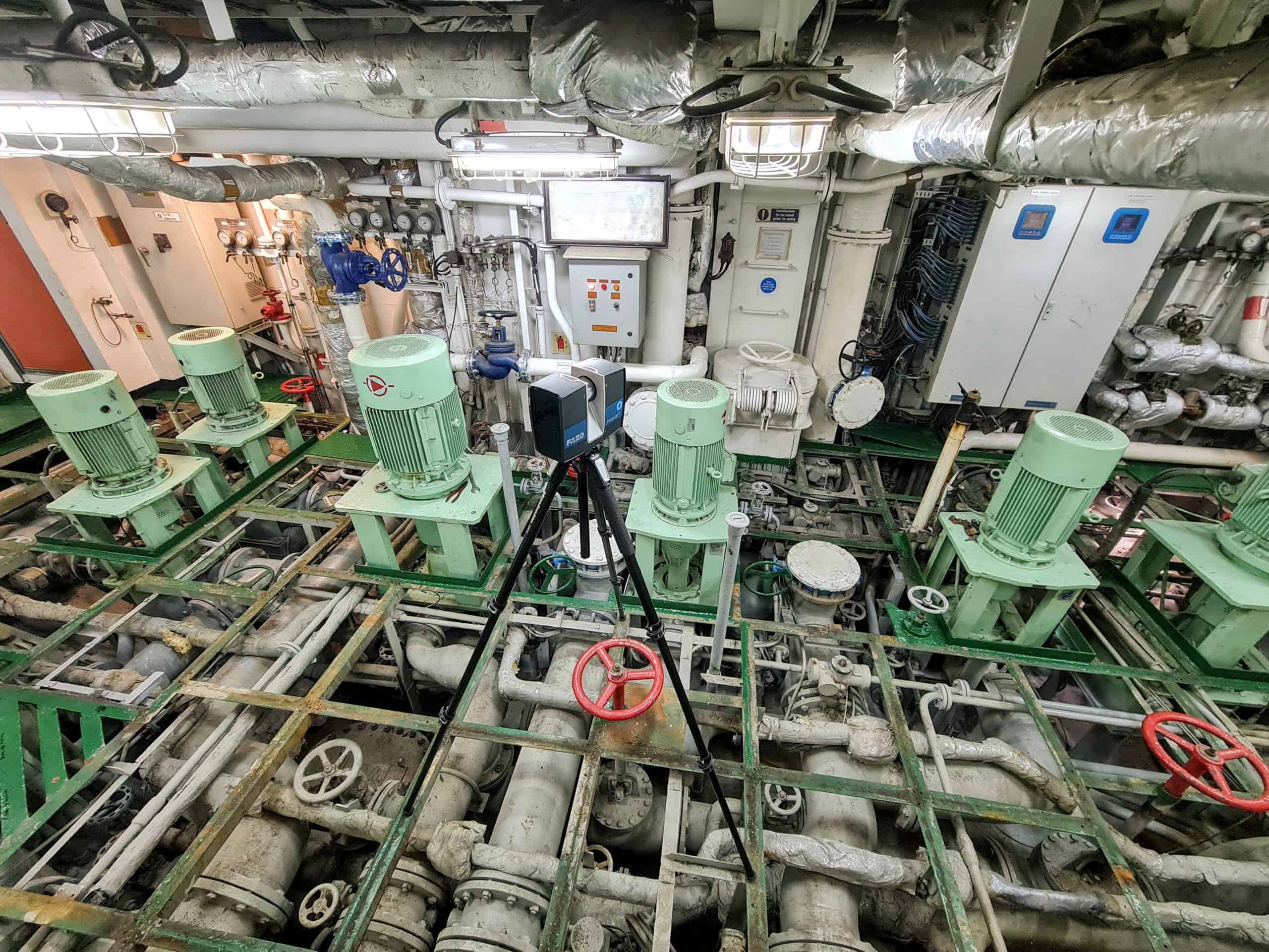
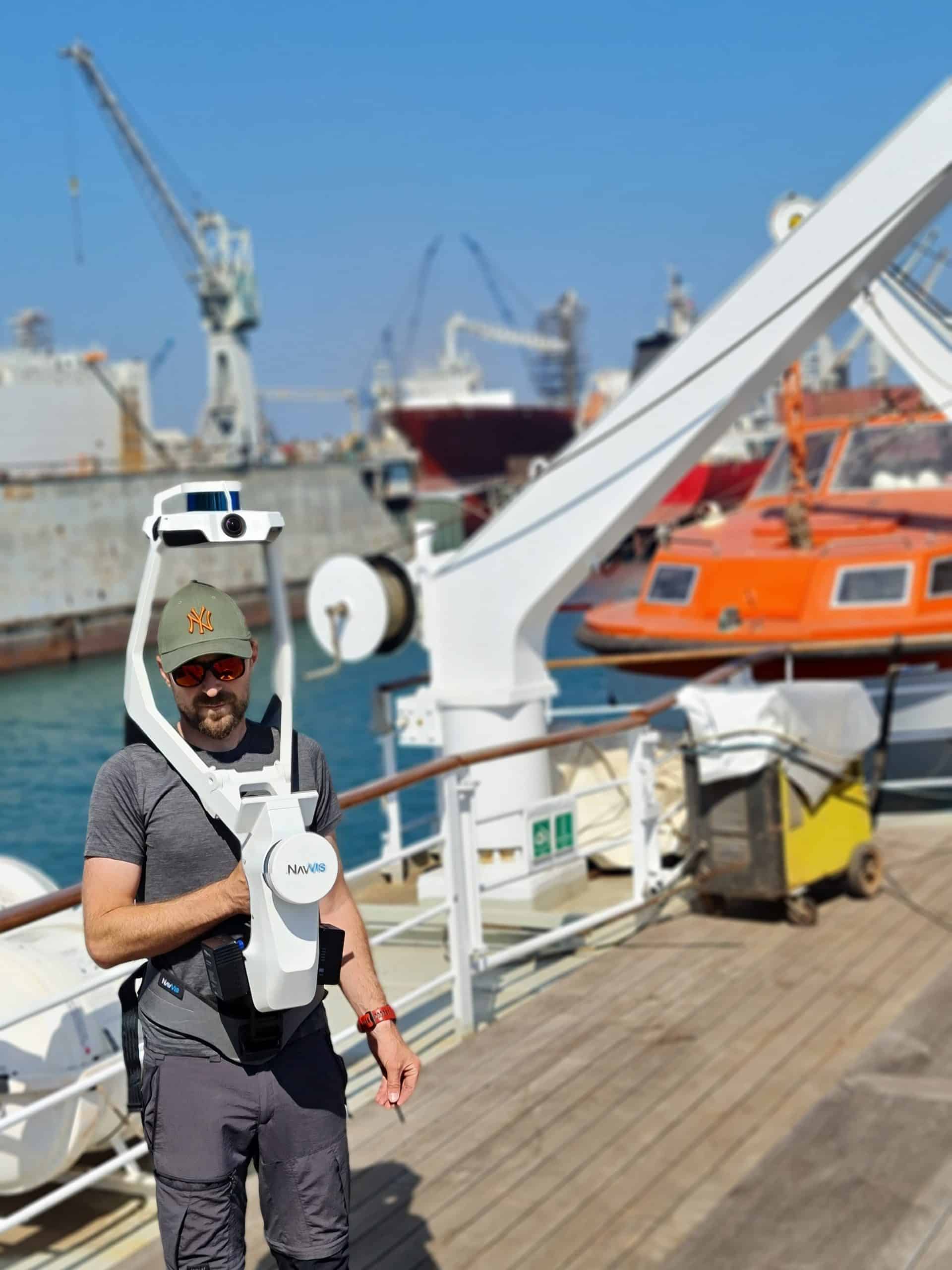
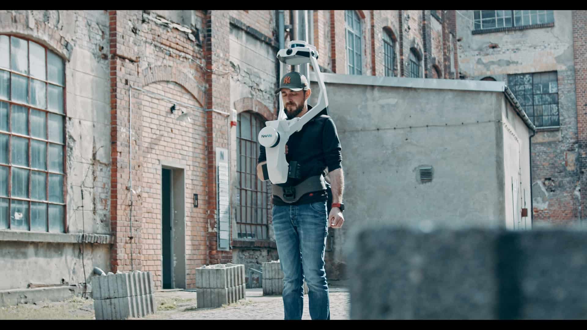
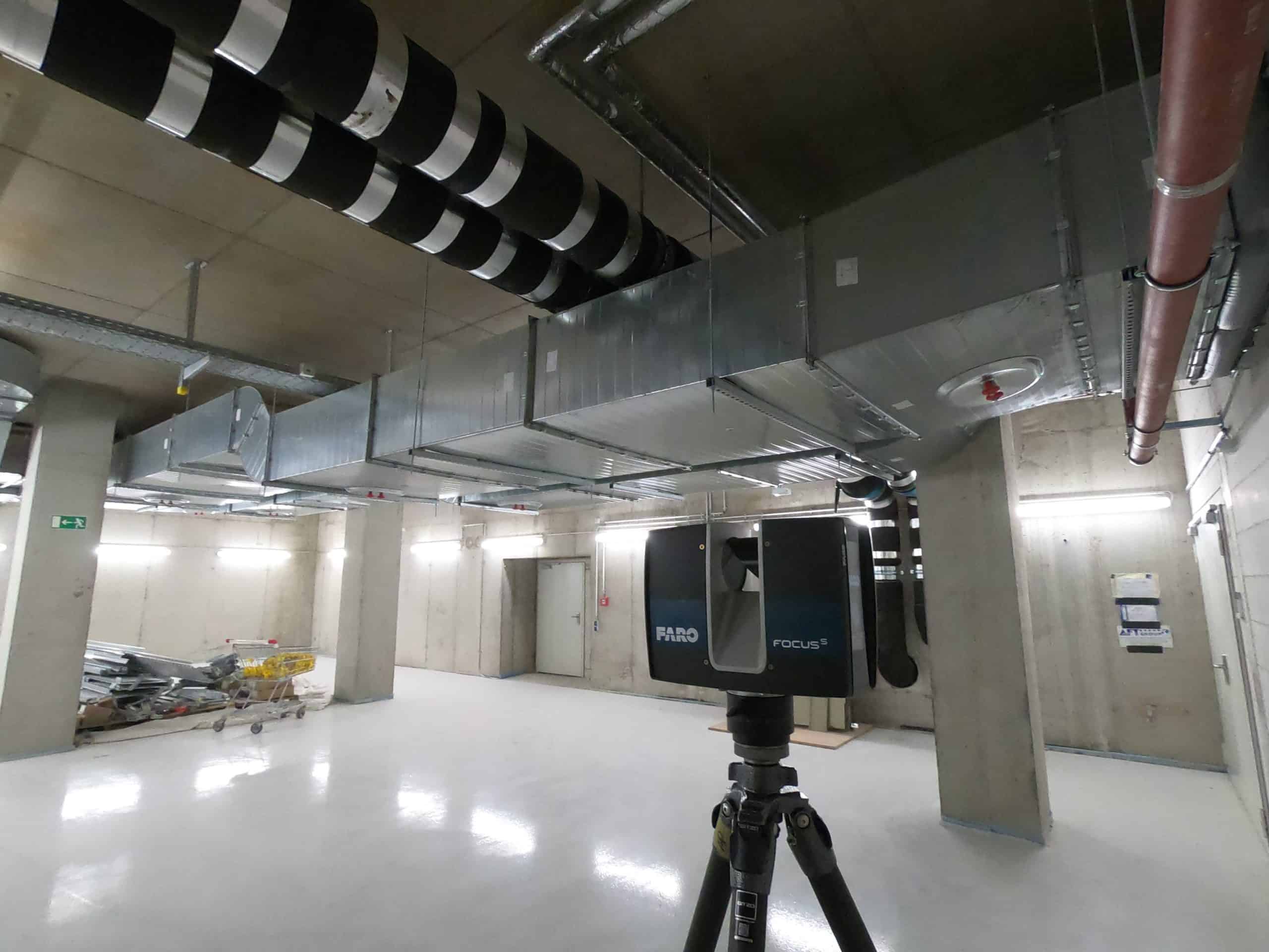
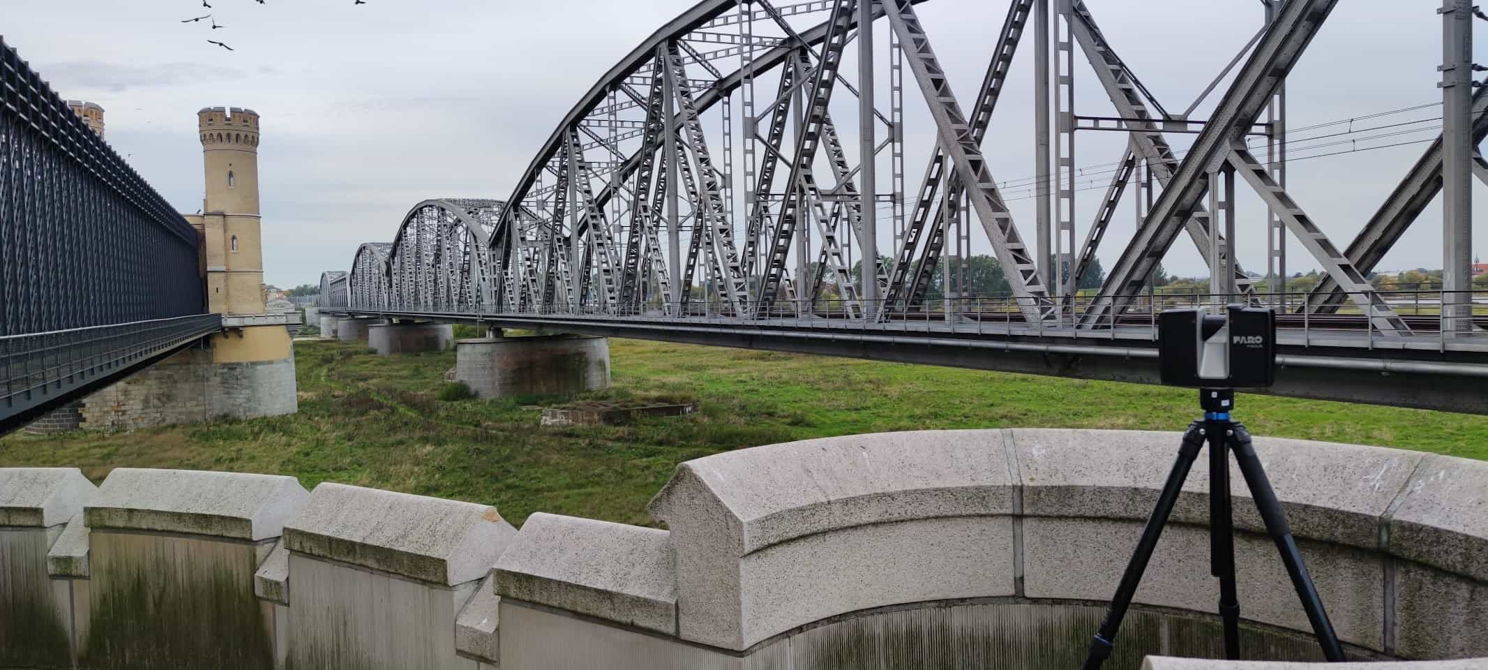
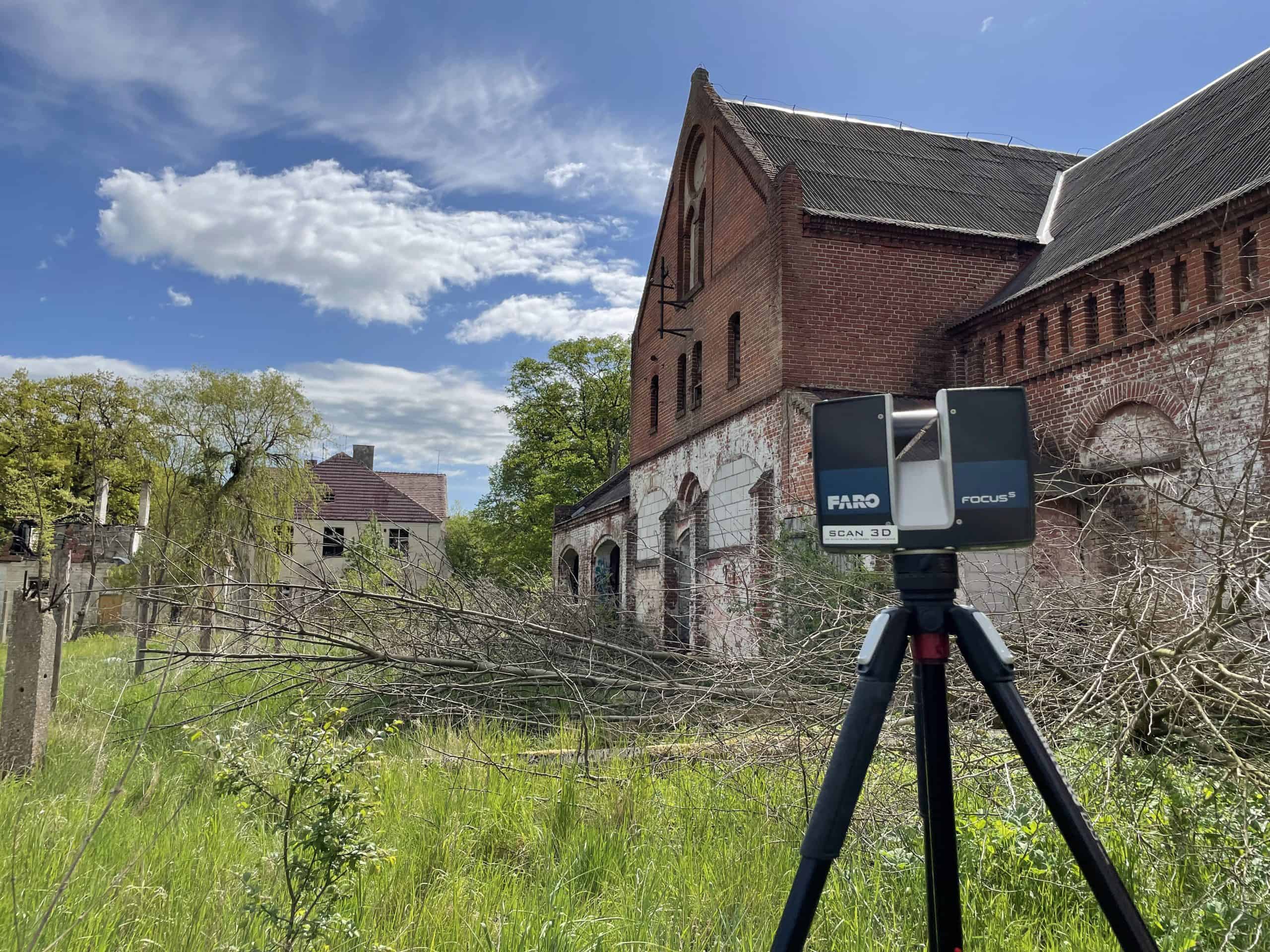
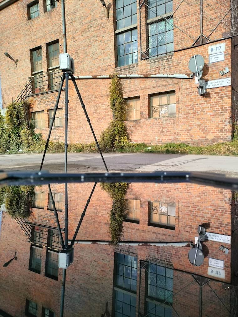
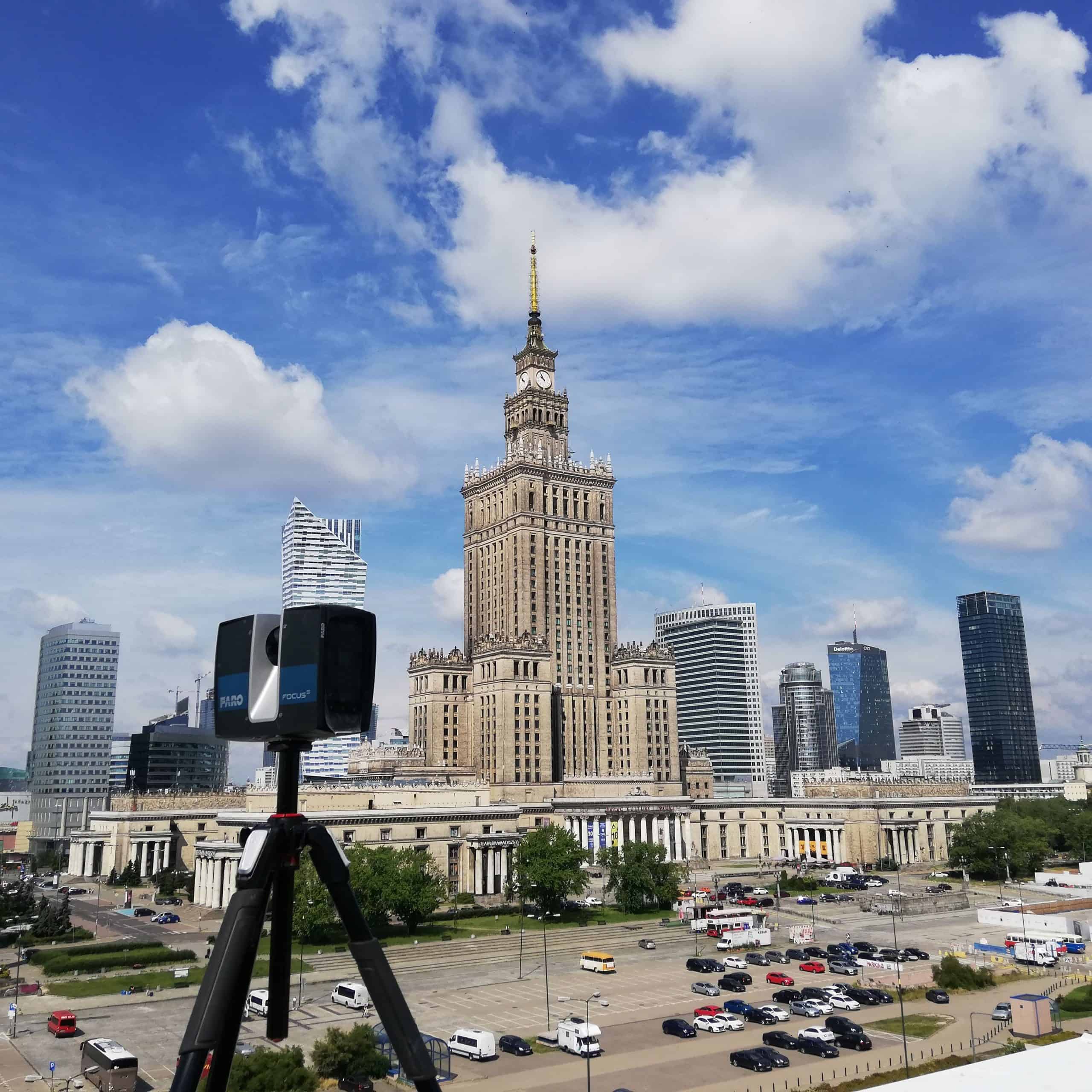
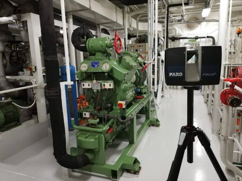
The oceanographer is a research vessel of the University of Gdańsk, built in the Nauta Shipyard in Gdynia in 2016. At the Oceanographic there are didactic classes and research (bathymetric, biological, chemical, physical, geological and magnetic-seismo-acoustic studies of the Baltic Sea). It was also prepared for catching fish and plankton.
Laser scanning included the ship’s hull, deck and transitions from two sides (left and starboard). 123 measuring stations were created on the surface of the entire research vessel and indoors. The keel was scanned on a dry dock, which enabled precise measurement of the sensors.
The main assumption of the project was to precisely scan all sensors of measuring instruments: SBES (3 transducers: 38, 120 and 333 kHz), USBL, ADCP, MBES, GPS antennas and sensors for the meteorological station, MRU device (tilt compensator) to in later work, determine their position relative to the COG point – the origin of the local coordinate system (0,0,0). The 3D models of the stern gantry, crane, stern crane and davit crane were created in order to determine the coordinates of the characteristic points in the local system depending on the deflection of the elements. In addition, WebShare was developed to facilitate viewing and analyzing laser scanning data, enabling a virtual return to the scanned object without the need for a personal visit.
Benefits:
- spatial measurement made in a short time;
- precise results that allowed to clearly determine the location of devices;
- spatial models of devices enabling analysis in various phases of activity;
- observation of changes in geometric features of elements after virtual modifications of their position;
- WebShare facilitating remote viewing and analyzing of data.